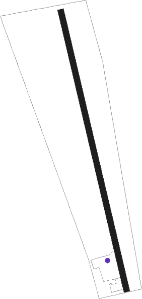
Zvolen - Dobrá Niva
Airport details
| Country | Slovakia |
| State | Region of Banská Bystrica |
| Region | |
| Airspace | Bratislava Ctr |
| Municipality | Dobrá Niva |
| Elevation | 1141ft (348m) |
| Timezone | GMT +1 |
| Coordinates | 48.49098, 19.10121 |
| Magnetic var | |
| Type | land |
| Available since | X-Plane v11.20 |
| ICAO code | XLZNIVA |
| IATA code | n/a |
| FAA code | n/a |
Communication
Nearby Points of Interest:
Kamenná vila
-Memorial of Slovak National Uprising, Nemecká
-Ipolytarnóc Fossils Protected Area
Nearby beacons
| code | identifier | dist | bearing | frequency |
|---|---|---|---|---|
| SLC | SLIAC VOR/DME | 2.3 | 159° | 114 |
| CRT | DME | 35.2 | 57° | 116.75 |
| Z | HLINIK (ZILINA) NDB | 48.5 | 325° | 508 |
| ZLA | ZILINA NDB | 48.7 | 320° | 404 |
| PW | TATRY WEST NDB | 52.2 | 59° | 418 |
| NTA | TARG DME | 61.5 | 45° | 115.95 |
| TPS | TAPIOSAP VOR/DME | 61.5 | 161° | 115.90 |
Disclaimer
The information on this website is not for real aviation. Use this data with the X-Plane flight simulator only! Data taken with kind consent from X-Plane 12 source code and data files. Content is subject to change without notice.