Laut Island - Gusti Sjamsir Alam
Airport details
| Country | Indonesia |
| State | South Kalimantan |
| Region | WA |
| Airspace | Ujung Pandang Ctr |
| Municipality | Kotabaru |
| Elevation | 12ft (4m) |
| Timezone | GMT +8 |
| Coordinates | -3.29472, 116.16528 |
| Magnetic var | |
| Type | land |
| Available since | X-Plane v10.40 |
| ICAO code | WAOK |
| IATA code | KBU |
| FAA code | n/a |
Communication
| Gusti Sjamsir Alam ATC Tower | 122.300 |
Runway info
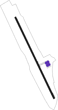
| Runway 15 / 33 | ||
| length | 1659m (5443ft) | |
| bearing | 159° / 339° | |
| width | 30m (98ft) | |
| surface | asphalt | |
| blast zone | 27m (89ft) / 0m (0ft) | |
Nearby beacons
| code | identifier | dist | bearing | frequency |
|---|---|---|---|---|
| GSA | KOTABARU VOR/DME | 0.1 | 232° | 112.90 |
| SN | KOTA BARU NDB | 0.6 | 327° | 347 |
Instrument approach procedures
| runway | airway (heading) | route (dist, bearing) |
|---|---|---|
| RW16 | TATOL (161°) | TATOL 3500ft OK401 (4mi, 168°) 2200ft |
| RNAV | OK401 2200ft OK402 (4mi, 159°) 1600ft OK403 (4mi, 159°) 461ft TATOL (12mi, 342°) 3500ft TATOL (turn) 3500ft |
Disclaimer
The information on this website is not for real aviation. Use this data with the X-Plane flight simulator only! Data taken with kind consent from X-Plane 12 source code and data files. Content is subject to change without notice.