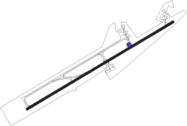
Airports for X-Plane offers a convenient way to explore airports and their related communication information for the X-Plane flight simulator. It only uses data from the X-Plane flight simulator itself, and is therefore more reliable than the data that comes from real aviation websites. You can search for airports by using the ICAO code, or browse for airports per country and state. The information displayed is categorized by airport details, runway information, airport communication, approach frequencies (ILS and Glidepath details), details of nearby beacons, SIDs, STARs and approach procedures.

runway airfield aircraft carrier landing flown traffic local government airports heliport corporation airport air terminal plane passenger terminal jet airport terminal flights stopover landing area

Pathein

Airport details

CountryMyanmar
StateAyeyarwady
RegionVY
AirspaceYangon Ctr
MunicipalityPathein
Elevation20ft (6m)
TimezoneGMT +6.5
Coordinates16.81210, 94.77386
Magnetic var
Typeland
Available sinceX-Plane v10.40
ICAO codeVYPN
IATA codeBSX
FAA coden/a

Communication

Pathein Tower119.700
Pathein Tower118.700

Runway info

Runway 06 / 24
 length2843m (9327ft)
 bearing65° / 245°
 width40m (131ft)
 surfaceconcrete
 displ threshold0m (0ft) / 91m (299ft)
 blast zone61m (200ft) / 61m (200ft)

Airport layout - taxiway location A2


Taxiway locations
Parking locations

Nearby beacons

codeidentifierdistbearingfrequency
PTNPATHEIN NDB0.380°415

Disclaimer

The information on this website is not for real aviation. Use this data with the X-Plane flight simulator only! Data taken with kind consent from X-Plane 12 source code and data files. Content is subject to change without notice.