Phan Rang
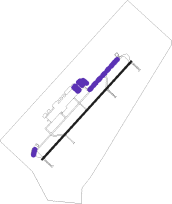
Airport details
| Country | Vietnam |
| State | Ninh Thuan province |
| Region | |
| Airspace | Ho Chi Minh Ctr |
| Municipality | Phan Rang–Tháp Chàm |
| Elevation | 101ft (31m) |
| Timezone | GMT +7 |
| Coordinates | 11.62408, 108.94157 |
| Magnetic var | |
| Type | land |
| Available since | X-Plane v10.40 |
| ICAO code | VVPR |
| IATA code | PHA |
| FAA code | n/a |
Communication
Nearby beacons
| code | identifier | dist | bearing | frequency |
|---|---|---|---|---|
| CRA | CAM RANH VOR/DME | 27.6 | 37° | 116.50 |
| CR | CAM RANH NDB | 27.7 | 36° | 414 |
| LKH | LIEN KHUONG VOR/DME | 35.3 | 283° | 112.30 |
| HYD | DALAT NDB | 36.3 | 282° | 312 |
| DL | DALAT NDB | 40.4 | 280° | 330 |
| PTH | PHANTHIET VOR/DME | 66.1 | 231° | 114.10 |
Disclaimer
The information on this website is not for real aviation. Use this data with the X-Plane flight simulator only! Data taken with kind consent from X-Plane 12 source code and data files. Content is subject to change without notice.