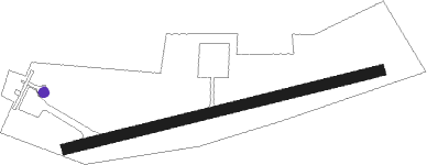
Udon - Udon Border Police
Airport details
| Country | Thailand |
| State | Udon Thani Province |
| Region | |
| Airspace | Bangkok Ctr |
| Municipality | Nong Khon Kwang |
| Elevation | 590ft (180m) |
| Timezone | GMT +7 |
| Coordinates | 17.38240, 102.84003 |
| Magnetic var | |
| Type | land |
| Available since | X-Plane v10.40 |
| ICAO code | VTT7 |
| IATA code | n/a |
| FAA code | n/a |
Communication
Nearby Points of Interest:
Wat Si Khun Mueang
-Phu Phra Bat Historical Park
Nearby beacons
| code | identifier | dist | bearing | frequency |
|---|---|---|---|---|
| UDN | UDON THANI VOR/DME | 3.7 | 272° | 114.30 |
| UD | UDON THANI NDB | 4 | 274° | 236 |
| VTN | VIENTIANE VOR/DME | 41.4 | 334° | 117.50 |
| VTG | THANGONE NDB | 46.7 | 345° | 405 |
| KKN | KHON KAEN VOR/DME | 54.8 | 183° | 114.90 |
| KN | KHON KAEN NDB | 55.3 | 183° | 393 |
| CMP | CHUM PHAE VOR/DME | 66.3 | 229° | 112.90 |
Disclaimer
The information on this website is not for real aviation. Use this data with the X-Plane flight simulator only! Data taken with kind consent from X-Plane 12 source code and data files. Content is subject to change without notice.