Bharatpur
Airport details
| Country | Nepal |
| State | Narayani |
| Region | VN |
| Airspace | Kathmandu Ctr |
| Municipality | Bharatpur Metro |
| Elevation | 1964ft (599m) |
| Timezone | GMT +5.75 |
| Coordinates | 27.67805, 84.42944 |
| Magnetic var | |
| Type | land |
| Available since | X-Plane v10.40 |
| ICAO code | VNBP |
| IATA code | BHR |
| FAA code | n/a |
Communication
| Bharatpur Bharatpur Twr | 122.300 |
Runway info
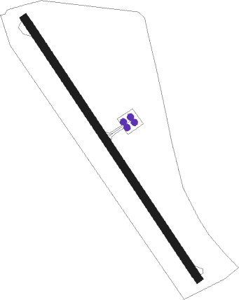
| Runway 15 / 33 | ||
| length | 1206m (3957ft) | |
| bearing | 148° / 328° | |
| width | 30m (98ft) | |
| surface | asphalt | |
| displ threshold | 5m (16ft) / 5m (16ft) | |
Nearby beacons
| code | identifier | dist | bearing | frequency |
|---|---|---|---|---|
| BHP | BHARATPUR NDB | 0 | 11° | 295 |
| PKR | DME | 39.2 | 320° | 112.80 |
| SMR | SIMARA VOR/DME | 42.6 | 133° | 112.90 |
| LTH | THECHO (KATHMANDU) NDB | 47.7 | 94° | 230 |
| KTM | KATHMANDU VOR/DME | 48.8 | 90° | 113.20 |
| KAM | KATHMANDU NDB | 49.1 | 89° | 318 |
| BWA | BHAIRAHAWA VOR/DME | 54 | 260° | 114.70 |
Disclaimer
The information on this website is not for real aviation. Use this data with the X-Plane flight simulator only! Data taken with kind consent from X-Plane 12 source code and data files. Content is subject to change without notice.