Dum Duma - Sookerating
Airport details
| Country | India |
| State | Assam |
| Region | |
| Airspace | Guwahati Ctr |
| Municipality | Doom Dooma |
| Elevation | 398ft (121m) |
| Timezone | GMT +5.5 |
| Coordinates | 27.55189, 95.57307 |
| Magnetic var | |
| Type | land |
| Available since | X-Plane v10.40 |
| ICAO code | VE24 |
| IATA code | n/a |
| FAA code | n/a |
Communication
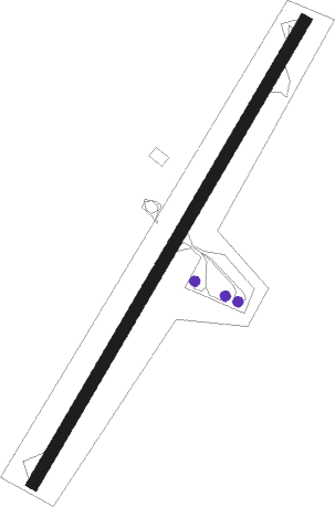
Runway info
| Runway 04 / 22 | ||
| length | 2012m (6601ft) | |
| bearing | 38° / 218° | |
| width | 45m (148ft) | |
| surface | asphalt | |
Nearby beacons
| code | identifier | dist | bearing | frequency |
|---|---|---|---|---|
| DRG | DIBRUGARH VOR/DME | 29.6 | 263° | 117.30 |
| DBR | DIBRUGARH NDB | 29.9 | 261° | 265 |
| TZU | TEZU VOR/DME | 37.8 | 55° | 113.60 |
| TJ | TEZU NDB | 38 | 55° | 416 |
Disclaimer
The information on this website is not for real aviation. Use this data with the X-Plane flight simulator only! Data taken with kind consent from X-Plane 12 source code and data files. Content is subject to change without notice.