Batken
Airport details
| Country | Kyrgyzstan |
| State | Batken Region |
| Region | |
| Airspace | Osh Ctr |
| Municipality | Баткен |
| Elevation | 3474ft (1059m) |
| Timezone | GMT +6 |
| Coordinates | 40.05000, 70.83202 |
| Magnetic var | |
| Type | land |
| Available since | X-Plane v11.51r1 |
| ICAO code | UAFB |
| IATA code | n/a |
| FAA code | n/a |
Communication
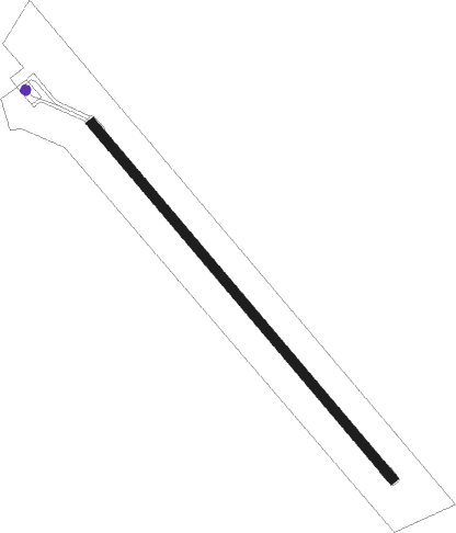
Runway info
| Runway 14 / 32 | ||
| length | 1807m (5928ft) | |
| bearing | 137° / 317° | |
| width | 37m (120ft) | |
| surface | asphalt | |
Nearby beacons
| code | identifier | dist | bearing | frequency |
|---|---|---|---|---|
| Z | FERGANA NDB | 46.3 | 70° | 303 |
| ZU | FERGANA NDB | 47.3 | 68° | 625 |
| NMA | NAMANGAN VOR/DME | 65.1 | 38° | 116 |
| S | NAMANGAN NDB | 65.5 | 39° | 676 |
| SA | NAMANGAN NDB | 65.8 | 41° | 329 |
Disclaimer
The information on this website is not for real aviation. Use this data with the X-Plane flight simulator only! Data taken with kind consent from X-Plane 12 source code and data files. Content is subject to change without notice.