Santiago - La Victoria De Chacabuco
Airport details
| Country | Chile |
| State | Santiago Metropolitan Region |
| Region | SC |
| Airspace | Santiago Ctr |
| Municipality | Colina |
| Elevation | 2139ft (652m) |
| Timezone | GMT -3 |
| Coordinates | -33.05083, -70.70889 |
| Magnetic var | |
| Type | land |
| Available since | X-Plane v10.40 |
| ICAO code | SCVH |
| IATA code | n/a |
| FAA code | n/a |
Communication
Nearby Points of Interest:
Convento de las Carmelitas Descalzas
-Edificio de la Gobernación de Los Andes
-Capilla de La Dormida
-Iglesia de San Antonio de Padua (El Almendral)
-Casa Consistorial de Conchalí
-Palacio Riesco
-Patio 29
-Población Los Castaños
-Casa de Av. Francia Nº 1442
-Antiguo Hospital San José
-Casona de Las Condes
-Casco histórico del Cementerio General
-Capilla del antiguo Lazareto de San Vicente de Paul
-Benedictine Monastery of the Holy Trinity (Las Condes)
-Piscina Tupahue
-Iglesia La Viñita
-Cervecería Ebner
-Manuel Foster Observatory
-Casa de Asturias 400
-Funicular de Santiago
-Casa presidencial de Tomás Moro
-Palacio Schacht
-Los Dominicos Park
-Instituto de Higiene
-Piscina Escolar de la Universidad de Chile
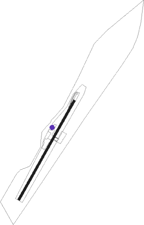
Runway info
| Runway 03 / 21 | ||
| length | 1001m (3284ft) | |
| bearing | 39° / 219° | |
| width | 20m (66ft) | |
| surface | asphalt | |
Nearby beacons
| code | identifier | dist | bearing | frequency |
|---|---|---|---|---|
| TBN | TABON VOR/DME | 10.2 | 316° | 113.90 |
| PDH | PUDAHUEL (SANTIAGO) VOR/DME | 22.3 | 194° | 117.20 |
| AMB | SANTIAGO VOR/DME | 22.4 | 192° | 116.10 |
| BQE | EL BOSQUE VOR/DME | 30.8 | 178° | 117.50 |
| VDM | VINA DEL MAR VOR/DME | 39 | 278° | 114.90 |
| SAL | SALINAS NDB | 41.8 | 274° | 390 |
| VTN | VENTANAS VOR/DME | 43.9 | 292° | 113.30 |
| SNO | SANTO DOMINGO NDB | 57.9 | 236° | 355 |
| DGO | DOMINGO VOR/DME | 58.2 | 236° | 112.30 |
Disclaimer
The information on this website is not for real aviation. Use this data with the X-Plane flight simulator only! Data taken with kind consent from X-Plane 12 source code and data files. Content is subject to change without notice.