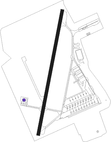
Nakazato - Kisarazu
Airport details
| Country | Japan |
| State | Chiba Prefecture |
| Region | RJ |
| Airspace | Fukuoka Ctr |
| Municipality | Kisarazu |
| Elevation | 8ft (2m) |
| Timezone | GMT +9 |
| Coordinates | 35.39388, 139.90683 |
| Magnetic var | |
| Type | land |
| Available since | X-Plane v10.40 |
| ICAO code | RJTK |
| IATA code | n/a |
| FAA code | n/a |
Communication
| Kisarazu Tower | 126.200 |
| Kisarazu Approach | 126.500 |
| Kisarazu Approach | 119.100 |
Nearby Points of Interest:
Kanagawa Prefectural offices
-Ohkurayama memorial hall
-Unyo Maru
-Asaina Pass
-En'yū-ji
-Meiji Maru
-Yatsu-higata
-Ginkgo tree of Zenpuku-ji
-Kobukurozaka
-Garden of Engaku-ji
-Eitai Bridge
-Municipal Research Building
-Tokyo Metropolitan Hibiya Public Hall
-Kewaizaka
-DN Tower 21
-Shigaraki Palace
-Mitsui Main Building
-Daibutsu Pass
-Tokyo Memorial Hall
-Setagaya Daikanyashiki
-Seikadō Bunko Art Museum
-The Kudan
-Kototoi Bridge
-Yōgō no Matsu
-Ogasawara-Hakushaku-Tei
Nearby beacons
| code | identifier | dist | bearing | frequency |
|---|---|---|---|---|
| KZT | KISARAZU TACAN | 0.2 | 324° | 110.05 |
| HME | HANEDA (TOKYO) VOR/DME | 12.3 | 319° | 112.20 |
| HYD | DME | 17.7 | 247° | 116.20 |
| NJA | ATSUGI TACAN | 22.3 | 277° | 115.10 |
| SHT | SHIMOFUSA (MATSUDO) TACAN | 25 | 14° | 108.20 |
| TET | TATEYAMA TACAN | 25.6 | 189° | 108.80 |
| OJT | ONJUKU TACAN | 26 | 114° | 115.70 |
| PQD | DME | 26.8 | 181° | 112.50 |
| TNT | TACHIKAWA TACAN | 31.4 | 302° | 115.80 |
| TN | SHIN-TACHIKAWA NDB | 31.5 | 303° | 366 |
| NRE | NARITA (TOKYO) VOR/DME | 32.2 | 50° | 117.90 |
| SND | (TOKYO) DME | 32.6 | 8° | 114 |
| YOK | YOKOTA (TOKYO) TACAN | 34.5 | 303° | 113.80 |
| YLT | IRUMA TACAN | 35.9 | 312° | 110.60 |
| SYE | SEKIYADO VOR/DME | 37.2 | 354° | 117 |
| TLD | DME | 40.3 | 25° | 116 |
| OSE | MIHARA (OSHIMA) VOR/DME | 45.1 | 222° | 109.85 |
| XAC | OSHIMA VORTAC | 47.5 | 216° | 113.10 |
| CVT | CHOSHI TACAN | 47.9 | 70° | 113.60 |
| HUC | HYAKURI VORTAC | 53.6 | 33° | 113.30 |
Departure and arrival routes
| Transition altitude | 14000ft |
| Transition level | 14000ft |
| SID end points | distance | outbound heading | |
|---|---|---|---|
| RW02 | |||
| TSUGA2 | 18mi | 51° | |
| KOSKA1 | 18mi | 247° | |
| RW20 | |||
| TSUGA2 | 18mi | 51° | |
| STAR starting points | distance | inbound heading | |
|---|---|---|---|
| ALL | |||
| TET | 25.6 | 9° | |
Disclaimer
The information on this website is not for real aviation. Use this data with the X-Plane flight simulator only! Data taken with kind consent from X-Plane 12 source code and data files. Content is subject to change without notice.