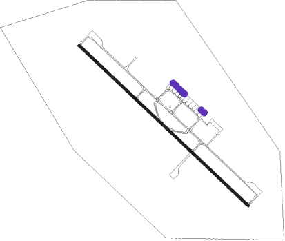
Basrah - Basrah Intl
Airport details
| Country | Iraq |
| State | Al-Basra Governorate |
| Region | OR |
| Airspace | Baghdad Ctr |
| Municipality | Al-Harthah Subdistrict |
| Elevation | 11ft (3m) |
| Timezone | GMT +3 |
| Coordinates | 30.54907, 47.66214 |
| Magnetic var | |
| Type | land |
| Available since | X-Plane v10.40 |
| ICAO code | ORMM |
| IATA code | BSR |
| FAA code | n/a |
Communication
| Basrah Intl ATIS | 125.525 |
| Basrah Intl Ground Control | 121.700 |
| Basrah Intl Tower | 118.700 |
| Basrah Intl Approach | 120.200 |
Approach frequencies
| ILS-cat-I | RW32 | 111.7 | 18.00mi |
| 3° GS | RW32 | 111.7 | 18.00mi |
Nearby Points of Interest:
Abadan-2 Water Tower
Nearby beacons
| code | identifier | dist | bearing | frequency |
|---|---|---|---|---|
| BSR | BASRAH VOR/DME | 1.8 | 134° | 112.30 |
| ABD | ABADAN VOR/DME | 30.7 | 107° | 115.10 |
| ABD | ABADAN NDB | 30.8 | 108° | 210 |
Disclaimer
The information on this website is not for real aviation. Use this data with the X-Plane flight simulator only! Data taken with kind consent from X-Plane 12 source code and data files. Content is subject to change without notice.