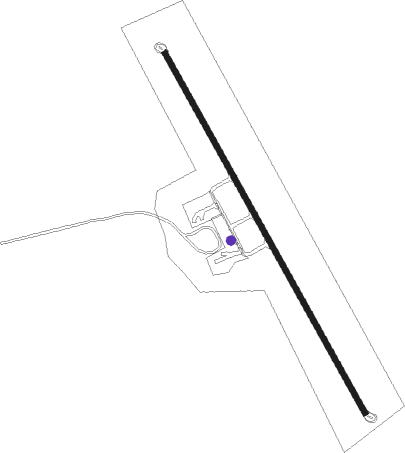
Mount Cook
Airport details
| Country | New Zealand |
| State | Canterbury |
| Region | NZ |
| Municipality | Mackenzie District |
| Elevation | 2142ft (653m) |
| Timezone | GMT +12 |
| Coordinates | -43.76538, 170.13223 |
| Magnetic var | |
| Type | land |
| Available since | X-Plane v10.40 |
| ICAO code | NZMC |
| IATA code | MON |
| FAA code | n/a |
Communication
| Mount Cook ALPS_TRAFFIC MULT | 118.600 |
| Mount Cook MOUNT_COOK UNIC | 131.000 |
| Mount Cook CHRISTCHURCH Approach | 123.500 |
Nearby beacons
| code | identifier | dist | bearing | frequency |
|---|---|---|---|---|
| RY | MARY DME | 23.1 | 158° | 112.50 |
Disclaimer
The information on this website is not for real aviation. Use this data with the X-Plane flight simulator only! Data taken with kind consent from X-Plane 12 source code and data files. Content is subject to change without notice.