Bluefileds - Bluefields
Airport details
| Country | Nicaragua |
| State | Atlantico Sur |
| Region | MN |
| Airspace | Central American Ctr |
| Municipality | Bluefields |
| Elevation | 41ft (12m) |
| Timezone | GMT -6 |
| Coordinates | 11.99096, -83.77409 |
| Magnetic var | |
| Type | land |
| Available since | X-Plane v10.40 |
| ICAO code | MNBL |
| IATA code | BEF |
| FAA code | n/a |
Communication
| BLUEFIELDS Tower | 118.500 |
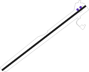
Runway info
| Runway 05 / 23 | ||
| length | 2021m (6631ft) | |
| bearing | 57° / 237° | |
| width | 30m (98ft) | |
| surface | asphalt | |
| displ threshold | 0m (0ft) / 197m (646ft) | |
Nearby beacons
| code | identifier | dist | bearing | frequency |
|---|---|---|---|---|
| BLU | BLUEFIELDS VOR/DME | 0.2 | 22° | 116.70 |
| CIS | CORN ISLAND NDB | 43.4 | 76° | 357 |
Disclaimer
The information on this website is not for real aviation. Use this data with the X-Plane flight simulator only! Data taken with kind consent from X-Plane 12 source code and data files. Content is subject to change without notice.