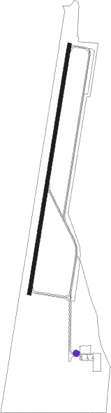
Piešťany - Piestany
Airport details
| Country | Slovakia |
| State | Region of Trnava |
| Region | LZ |
| Airspace | Bratislava Ctr |
| Municipality | Piešťany |
| Elevation | 543ft (166m) |
| Timezone | GMT +1 |
| Coordinates | 48.62500, 17.82861 |
| Magnetic var | |
| Type | land |
| Available since | X-Plane v10.40 |
| ICAO code | LZPP |
| IATA code | PZY |
| FAA code | n/a |
Communication
| Piestany Tower-frequency | 125.450 |
Approach frequencies
| ILS-cat-I | RW01 | 109.3 | 18.00mi |
| 3° GS | RW01 | 109.3 | 18.00mi |
Nearby Points of Interest:
Pamätný dom Slovenskej národnej rady
-Church of Saints Cyril and Methodius
-Memorial of J. A. Comenius
-Bell tower
-Neutering museum in Komňa
-St. Anthony's Hill
-Town hall in Uherský Brod
-Maria column in Uherský Brod
-Vlčnovské búdy
-Category:Průžkův mlýn
-Synagogue in Veselí nad Moravou
Nearby beacons
| code | identifier | dist | bearing | frequency |
|---|---|---|---|---|
| PNY | CENTR (PIESTANY) NDB | 1 | 201° | 297 |
| NIT | NITRA VOR/DME | 21.9 | 146° | 116.50 |
| JAN | JANOVCE VOR/DME | 29.1 | 212° | 110.80 |
| KNE | KUNOVICE NDB | 29.3 | 318° | 434 |
| KUN | KUNOVICE NDB | 32 | 326° | 416 |
| OKR | STEFANIK NORTH NDB | 32.2 | 233° | 391 |
| B | BARKA (BRATISLAVA) NDB | 36.8 | 231° | 438 |
| OB | STEFANIK SOUTH NDB | 37.2 | 226° | 330 |
| ZLA | ZILINA NDB | 43.9 | 50° | 404 |
| Z | HLINIK (ZILINA) NDB | 47.1 | 52° | 508 |
| GYR | GYOR VOR/DME | 58.1 | 186° | 115.10 |
Departure and arrival routes
| Transition altitude | 8000ft |
| SID end points | distance | outbound heading | |
|---|---|---|---|
| RW01 | |||
| NIT3D | 22mi | 146° | |
| OKR3D | 32mi | 233° | |
| BERV3D | 11mi | 269° | |
| MAVO3D | 16mi | 304° | |
| RW19 | |||
| NIT1T | 22mi | 146° | |
| OKR1T | 32mi | 233° | |
| BERV1T | 11mi | 269° | |
| STAR starting points | distance | inbound heading | |
|---|---|---|---|
| RW01 | |||
| JAN1P | 29.1 | 32° | |
| BERV2P | 11.4 | 89° | |
| NIT2P | 21.9 | 326° | |
Disclaimer
The information on this website is not for real aviation. Use this data with the X-Plane flight simulator only! Data taken with kind consent from X-Plane 12 source code and data files. Content is subject to change without notice.