Nitzana - Nitzana West
Airport details
| Country | Israel |
| State | South District |
| Region | |
| Airspace | Tel Aviv Ctr |
| Municipality | Ramat Negev Regional Council |
| Elevation | 825ft (251m) |
| Timezone | GMT +2 |
| Coordinates | 30.85940, 34.44310 |
| Magnetic var | |
| Type | land |
| Available since | X-Plane v10.40 |
| ICAO code | LL60 |
| IATA code | n/a |
| FAA code | n/a |
Communication
Nearby Points of Interest:
Turkish Railway Bridge over Lavan Stream
-Incense Route – Desert Cities in the Negev
-Makhtesh Ramon
-Bedouin school
-Sulfur Quarry of Be'eri
-Be'eri Water Tower
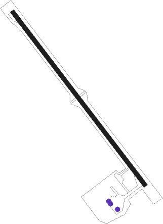
Runway info
| Runway 15 / 33 | ||
| length | 1496m (4908ft) | |
| bearing | 143° / 323° | |
| width | 29m (95ft) | |
| surface | asphalt | |
| blast zone | 61m (200ft) / 61m (200ft) | |
Nearby beacons
| code | identifier | dist | bearing | frequency |
|---|---|---|---|---|
| BSA | BEER SHEBA VOR/DME | 29.3 | 33° | 114.30 |
| ARH | EL ARISH VOR/DME | 33.9 | 289° | 113.60 |
| ZFR | ZOFAR VOR/DME | 41.2 | 113° | 115.60 |
| MZD | METZADA VOR/DME | 56.4 | 64° | 115 |
| AQC | KING HUSSEIN NDB | 67.3 | 145° | 326 |
Disclaimer
The information on this website is not for real aviation. Use this data with the X-Plane flight simulator only! Data taken with kind consent from X-Plane 12 source code and data files. Content is subject to change without notice.