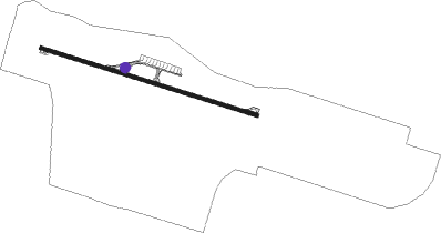
Nicosia - Ercan
Airport details
| Country | Cyprus |
| State | Nicosia District |
| Region | LC |
| Airspace | Nicosia Ctr |
| Municipality | Nicosia |
| Elevation | 397ft (121m) |
| Timezone | GMT +2 |
| Coordinates | 35.14889, 33.49972 |
| Magnetic var | |
| Type | land |
| Available since | X-Plane v10.40 |
| ICAO code | LCEN |
| IATA code | ECN |
| FAA code | n/a |
Communication
| Ercan ATIS | 118.350 |
| Ercan Tower | 120.450 |
| Ercan ApproachR | 122.700 |
Nearby Points of Interest:
Church of Ayia Sotira (of the Transfiguration of the Savior) tou Soteros
-Painted Churches in the Troödos Region
Nearby beacons
| code | identifier | dist | bearing | frequency |
|---|---|---|---|---|
| ECN | ERCAN VOR/DME | 0.6 | 313° | 117 |
| IECR | DME-ILS | 0.6 | 81° | 108.30 |
| GKE | GECITKALE NDB | 12.9 | 71° | 435 |
| DKA | DHEKELIA NDB | 14.9 | 122° | 343 |
| GKE | FAMAGUSTA GECITKALE VOR/DME | 15.5 | 74° | 114.30 |
| LCA | LARNACA VOR/DME | 17.6 | 155° | 112.80 |
| LCA | LARNACA NDB | 19.9 | 171° | 432 |
| AKR | AKROTIRI TACAN | 43.2 | 223° | 116 |
| PHA | PAFOS VOR/DME | 55.5 | 246° | 117.90 |
Disclaimer
The information on this website is not for real aviation. Use this data with the X-Plane flight simulator only! Data taken with kind consent from X-Plane 12 source code and data files. Content is subject to change without notice.