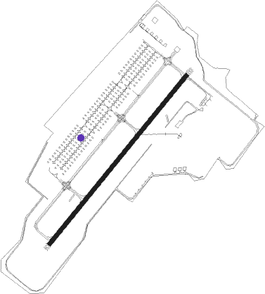
Fort Campbell - Sabre Army
Airport details
| Country | United States of America |
| State | Tennessee |
| Region | K7 |
| Airspace | Memphis Ctr |
| Municipality | Montgomery County |
| Elevation | 595ft (181m) |
| Timezone | GMT -6 |
| Coordinates | 36.57432, -87.47612 |
| Magnetic var | |
| Type | land |
| Available since | X-Plane v10.40 |
| ICAO code | KEOD |
| IATA code | n/a |
| FAA code | EOD |
Communication
| Sabre Army Sabre AWOS | 134.575 |
| Sabre Army Sabre ATIS | 306.500 |
| Sabre Army Sabre CTAF | 124.675 |
| Sabre Army Sabre Ground | 128.750 |
| Sabre Army Sabre Tower | 124.675 |
| Sabre Army Campbell Approach | 134.350 |
| Sabre Army Campbell Departure | 134.350 |
Nearby Points of Interest:
Forbes-Mabry House
-Clarksville Methodist Church
-Samuel Rexinger House
-Northington-Beach House
-Johnson-Hach House
-Madison Street Historic District
-Tip Top
-Oak Top
-Lafayette Methodist Church
-Sanford Wilson House
-Madison Street Methodist Church
-Hopkinsville L & N Railroad Depot
-Hopkinsville Commercial Historic District
-Western State Hospital
-Latham Confederate Monument
-Jefferson Davis State Historic Site
-Fort Donelson National Battlefield
-Bell Witch Cave
-McReynolds House
-Allensville Historic District
-Cadiz Downtown Historic District
-Cadiz Masonic Lodge No. 121 F. and A.M.
-Cheatham County Courthouse
-Mansfield Cheatham House
-Robertson County Courthouse
Nearby beacons
| code | identifier | dist | bearing | frequency |
|---|---|---|---|---|
| CKV | CLARKSVILLE VOR/DME | 4.1 | 53° | 110.60 |
| CK | SNUFF(FT CAMPBELL (CLARKSVILLE NDB | 5.1 | 118° | 335 |
| HXW | SCREAMING EAGLE TACAN | 5.3 | 338° | 114.90 |
| FK | AIRBE(FT CAMPBELL/HOPKINSVILLE NDB | 10.2 | 21° | 273 |
| EU | MUREY (MURRAY) NDB | 40.1 | 280° | 368 |
| GHM | (CENTERVILLE) DME | 44.4 | 178° | 111.60 |
| BNA | NASHVILLE VORTAC | 46.4 | 119° | 114.10 |
| CCT | CITY DME | 49.5 | 15° | 109.80 |
| BW | NOORA (BOWLING GREEN) NDB | 51.2 | 73° | 236 |
Disclaimer
The information on this website is not for real aviation. Use this data with the X-Plane flight simulator only! Data taken with kind consent from X-Plane 12 source code and data files. Content is subject to change without notice.