Malakal
Airport details
| Country | South Sudan |
| State | Upper Nile |
| Region | HS |
| Airspace | Khartoum Ctr |
| Municipality | Malakal |
| Elevation | 1291ft (393m) |
| Timezone | GMT +3 |
| Coordinates | 9.55897, 31.65223 |
| Magnetic var | |
| Type | land |
| Available since | X-Plane v10.40 |
| ICAO code | HSSM |
| IATA code | MAK |
| FAA code | n/a |
Communication
| Malakal INFO | 118.200 |
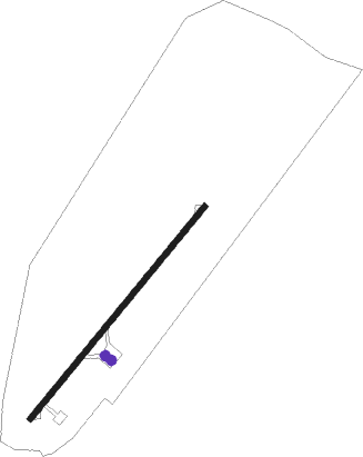
Runway info
| Runway 04 / 22 | ||
| length | 2006m (6581ft) | |
| bearing | 44° / 224° | |
| width | 40m (131ft) | |
| surface | asphalt | |
Nearby beacons
| code | identifier | dist | bearing | frequency |
|---|---|---|---|---|
| MLK | MALAKAL VOR/DME | 0.2 | 13° | 112.70 |
Disclaimer
The information on this website is not for real aviation. Use this data with the X-Plane flight simulator only! Data taken with kind consent from X-Plane 12 source code and data files. Content is subject to change without notice.