Monrovia - Monrovia Spriggs Payne
Airport details
| Country | Liberia |
| State | Montserrado County |
| Region | GL |
| Airspace | Roberts Ctr |
| Municipality | Monrovia |
| Elevation | 23ft (7m) |
| Timezone | GMT +0 |
| Coordinates | 6.28433, -10.76683 |
| Magnetic var | |
| Type | land |
| Available since | X-Plane v11.51r1 |
| ICAO code | GLMR |
| IATA code | MLW |
| FAA code | n/a |
Communication
| Monrovia Spriggs Payne SPRIGGS Tower | 118.700 |
| Monrovia Spriggs Payne ROBERTS Approach | 124.500 |
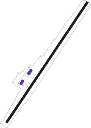
Runway info
| Runway 05 / 23 | ||
| length | 1852m (6076ft) | |
| bearing | 39° / 219° | |
| width | 30m (100ft) | |
| surface | asphalt | |
| displ threshold | 70m (230ft) / 61m (200ft) | |
Nearby beacons
| code | identifier | dist | bearing | frequency |
|---|---|---|---|---|
| FOR | ROBERTS (MONROVIA) NDB | 23.4 | 102° | 263 |
| ROB | ROBERTS (MONROVIA) VOR/DME | 24.1 | 98° | 113.80 |
Disclaimer
The information on this website is not for real aviation. Use this data with the X-Plane flight simulator only! Data taken with kind consent from X-Plane 12 source code and data files. Content is subject to change without notice.