Ruacana
Airport details
| Country | Namibia |
| State | Omusati |
| Region | FY |
| Airspace | Windhoek Ctr |
| Elevation | 3765ft (1148m) |
| Timezone | GMT +2 |
| Coordinates | -17.42061, 14.37167 |
| Magnetic var | |
| Type | land |
| Available since | X-Plane v10.40 |
| ICAO code | FYRC |
| IATA code | n/a |
| FAA code | n/a |
Communication
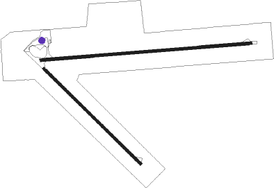
Runway info
Runway 11 / 29  | ||
| length | 2133m (6998ft) | |
| bearing | 90° / 270° | |
| width | 30m (98ft) | |
| surface | asphalt | |
| Runway 16 / 34 | ||
| length | 1373m (4505ft) | |
| bearing | 138° / 318° | |
| width | 30m (98ft) | |
| surface | dirt | |
Disclaimer
The information on this website is not for real aviation. Use this data with the X-Plane flight simulator only! Data taken with kind consent from X-Plane 12 source code and data files. Content is subject to change without notice.