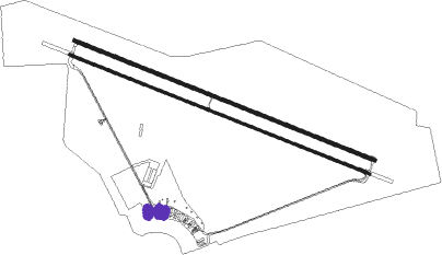
Gweru - Gweru-thornhill Air Base
Airport details
| Country | Zimbabwe |
| State | Midlands Province |
| Region | |
| Airspace | Harare Ctr |
| Municipality | Gweru |
| Elevation | 4680ft (1426m) |
| Timezone | GMT +2 |
| Coordinates | -19.44495, 29.85761 |
| Magnetic var | |
| Type | land |
| Available since | X-Plane v10.40 |
| ICAO code | FVTL |
| IATA code | GWE |
| FAA code | n/a |
Communication
| Gweru-Thornhill Air Base THORNHILL Tower | 123.500 |
| Gweru-Thornhill Air Base THORNHILL Approach | 126.500 |
Nearby Points of Interest:
Naletale

Nearby beacons
| code | identifier | dist | bearing | frequency |
|---|---|---|---|---|
| TL | THORNHILL (GWERU) NDB | 0.3 | 272° | 213 |
| VTL | THORNHILL (GWERU) VOR/DME | 0.3 | 7° | 114.30 |
| TI | THORNHILL (GWERU) NDB | 1.2 | 322° | 278 |
| TO | THORNHILL (GWERU) NDB | 5.2 | 310° | 268 |
| RC | KWEKWE NDB | 30.7 | 354° | 385 |
| MS | MASVINGO NDB | 65.2 | 120° | 317 |
| VI | MASVINGO NDB | 66.9 | 121° | 353 |
| VMV | MASVINGO VOR/DME | 67.2 | 122° | 115.10 |
| SZ | ESIGODINI (BULAWAYO) NDB | 72.8 | 227° | 242 |
Disclaimer
The information on this website is not for real aviation. Use this data with the X-Plane flight simulator only! Data taken with kind consent from X-Plane 12 source code and data files. Content is subject to change without notice.