Wittmundhafen Ab
Airport details
| Country | Germany |
| State | Lower Saxony |
| Region | ED |
| Airspace | Bremen Ctr |
| Municipality | Aurich |
| Elevation | 25ft (8m) |
| Timezone | GMT +1 |
| Coordinates | 53.54813, 7.65619 |
| Magnetic var | |
| Type | land |
| Available since | X-Plane v10.40 |
| ICAO code | ETNT |
| IATA code | n/a |
| FAA code | n/a |
Communication
| Wittmundhafen AB Wittmund tower | 118.725 |
Approach frequencies
| ILS-cat-I | RW26 | 109.95 | 18.00mi |
| 3° GS | RW26 | 109.95 | 18.00mi |
Nearby Points of Interest:
Andreaskirche
-Holy Cross Church
-Jüdischer Friedhof Esens
-St. Marienkirche
-St. Florian
-Wasserwerk Aurich
-Altfunnixsieler Mühle
-Holtrop Church
-Evertssches Haus
-Friedhofswärterhaus
-Staatshochbauamt
-St.-Ludgerus-Kirche
-Pingelhus
-Landschaftshaus
-Denkmal für die Gefallenen des Deutsch-Französischen Krieges 1870/71 (Aurich)
-Aurich railway station
-Teehäuschen
-Julianenburg
-Ostgroßefehner Kirche
-Westerbur Church (Dornum)
-Haxtumer Mühle
-Petrikirche
-Carolinensiel church
-St. Martin
-Ihlowerfehn Church
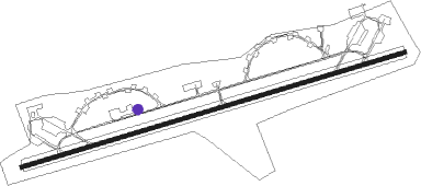
Runway info
| Runway 08 / 26 | ||
| length | 3011m (9879ft) | |
| bearing | 83° / 263° | |
| width | 30m (98ft) | |
| surface | asphalt | |
| displ threshold | 269m (883ft) / 264m (866ft) | |
Nearby beacons
| code | identifier | dist | bearing | frequency |
|---|---|---|---|---|
| WTM | WITTMUNDHAFEN TACAN | 2.4 | 85° | 113.50 |
| NDO | NORDHOLZ TACAN | 37.8 | 78° | 117.10 |
| DHE | HELGOLAND VOR/DME | 39.3 | 22° | 116.30 |
| EEL | EELDE (GRONINGEN) VOR/DME | 42.3 | 249° | 112.40 |
| DP | DIEPHOLZ NDB | 64.2 | 140° | 325 |
Disclaimer
The information on this website is not for real aviation. Use this data with the X-Plane flight simulator only! Data taken with kind consent from X-Plane 12 source code and data files. Content is subject to change without notice.