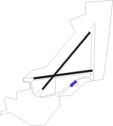
Perranporth
Airport details
| Country | United Kingdom |
| State | England |
| Region | EG |
| Airspace | London Ctr |
| Municipality | Cornwall |
| Elevation | 330ft (101m) |
| Timezone | GMT +0 |
| Coordinates | 50.33055, -5.17944 |
| Magnetic var | |
| Type | land |
| Available since | X-Plane v10.40 |
| ICAO code | EGTP |
| IATA code | n/a |
| FAA code | n/a |
Communication
| Perranporth Perranporth Radio | 119.750 |
Nearby Points of Interest:
St Agnes Mining District
-St Piran's Round
-Penhale Sands
-Kelsey Head
-Engine House Killifreth (Hawke's Shaft)
-Old County Hall
-New County Hall
-Truro Crown Court
-Mining Exchange
-Tresillian House, St Newlyn East
-Godrevy Head to St Agnes
-Promontory fort and two bowl barrows at Trevelgue Head
-West Cornwall Bryophytes Site of Special Scientific Interest
-Friends Meeting House, Come-to-Good
-Carnon Mine Engine House
-Tregothnan
-Tolverne Cottage
-Trewithen House
-Carnanton House
-Glasney College
-Cornwall
-The Old Rectory, St Columb Major
-Trewan Hall
-Royal Cornwall Polytechnic Society
-The Bucket of Blood

Nearby beacons
| code | identifier | dist | bearing | frequency |
|---|---|---|---|---|
| NQY | NEWQUAY NDB | 9.7 | 59° | 347 |
| CUL | CULDROSE NDB | 15.1 | 196° | 370 |
| LND | LANDS END VOR/DME | 21 | 247° | 114.20 |
Disclaimer
The information on this website is not for real aviation. Use this data with the X-Plane flight simulator only! Data taken with kind consent from X-Plane 12 source code and data files. Content is subject to change without notice.