Huddersfield
Airport details
| Country | United Kingdom |
| State | England |
| Region | |
| Airspace | London Ctr |
| Municipality | Kirklees |
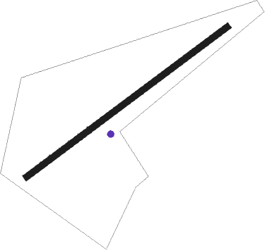
| Elevation | 825ft (251m) |
| Timezone | GMT +0 |
| Coordinates | 53.61879, -1.83777 |
| Magnetic var | |
| Type | land |
| Available since | X-Plane v10.40 |
| ICAO code | EGND |
| IATA code | n/a |
| FAA code | n/a |
Communication
Nearby Points of Interest:
Huddersfield Town Hall Including Wall And Railings To Area
-Huddersfield Library and Art Gallery
-St Paul's Street drill hall, Huddersfield
-Woodsome Hall
-The Old Town Hall Town Hall Buildings
-Town Hall
-Kirklees Hall
-Kirklees Priory
-Field House
-Prescott Street drill hall
-Castleshaw Roman fort
-Halifax Town Hall
-Wood Lane Hall
-Old St Matthew's Church, Lightcliffe
-All Souls Church, Halifax
-Scout Hall
-Healds Hall
-Royds Hall
-Thornhill Grammar School
-Bethel Methodist Church
-Dewsbury Town Hall
-Hebden Bridge signal box
-Bretton Hall
Nearby beacons
| code | identifier | dist | bearing | frequency |
|---|---|---|---|---|
| POL | POLE HILL VOR/DME | 12 | 295° | 112.10 |
| LBA | LEEDS BRADFORD NDB | 16.1 | 37° | 402 |
| MCT | MANCHESTER VOR/DME | 21.8 | 238° | 113.55 |
| SBL | SHERBURN-IN-ELMET NDB | 24.6 | 75° | 323 |
| FNY | DONCASTER SHEFFIELD NDB | 31 | 100° | 338 |
| TNT | TRENT VOR/DME | 34.4 | 163° | 115.70 |
| LPL | LIVERPOOL NDB | 35.8 | 253° | 349 |
| GAM | GAMSTON VOR/DME | 37.7 | 111° | 112.80 |
| WHI | WHITEGATE NDB | 38.3 | 241° | 368 |
| LEE | LEEMING TACAN | 42.1 | 24° | 112.60 |
| TNL | TATENHILL NDB | 48.3 | 175° | 327 |
| EMW | EAST MIDLANDS NDB | 49.4 | 154° | 393 |
| EME | EAST MIDLANDS NDB | 52.5 | 141° | 353 |
| SWB | SHAWBURY VOR/DME | 57.5 | 225° | 116.80 |
| TD | TEESSIDE INTL NDB | 59.2 | 28° | 347 |
Disclaimer
The information on this website is not for real aviation. Use this data with the X-Plane flight simulator only! Data taken with kind consent from X-Plane 12 source code and data files. Content is subject to change without notice.