Swansea
Airport details
| Country | United Kingdom |
| State | Wales |
| Region | EG |
| Airspace | London Ctr |
| Municipality | Swansea |
| Elevation | 297ft (91m) |
| Timezone | GMT +0 |
| Coordinates | 51.60528, -4.06778 |
| Magnetic var | |
| Type | land |
| Available since | X-Plane v10.40 |
| ICAO code | EGFH |
| IATA code | SWS |
| FAA code | n/a |
Communication
Nearby Points of Interest:
Kilvrough Manor
-Penard Valley
-Clyne Castle
-Caswell Bay
-Minchin Hole
-Sketty Hall
-Langland Bay
-Oxwich Bay
-Guildhall, Swansea
-Mumbles Battery
-Libanus Welsh Baptist Chapel
-Old Swansea Central Library
-Castle Cinema
-Siloh Welsh Congregational Chapel
-Calfaria Baptist Church
-Capel Als Independent Chapel
-Gower Peninsula
-Norwegian Church, Swansea
-Seion Welsh Baptist Church
-The Town Hall
-Tabernacl Independent Chapel
-St Ellyw's Church
-Cwm Ivy Marsh
-Gellionnen Unitarian Chapel
-Neath Town Hall
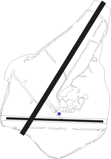
Runway info
Runway 04 / 22  | ||
| length | 1470m (4823ft) | |
| bearing | 50° / 230° | |
| width | 46m (151ft) | |
| surface | concrete | |
| displ threshold | 60m (197ft) / 150m (492ft) | |
| Runway 10 / 28 | ||
| length | 924m (3031ft) | |
| bearing | 94° / 274° | |
| width | 18m (59ft) | |
| surface | asphalt | |
| displ threshold | 33m (108ft) / 99m (325ft) | |
Nearby beacons
| code | identifier | dist | bearing | frequency |
|---|---|---|---|---|
| CDF | CARDIFF NDB | 30.1 | 106° | 388 |
| BCN | BRECON VOR/DME | 30.8 | 82° | 117.45 |
| HAV | HAVERFORDWEST NDB | 36.1 | 284° | 328 |
| HDW | DME | 36.2 | 284° | 116.75 |
| STU | STRUMBLE VOR/DME | 43 | 292° | 113.10 |
| EX | EXETER NDB | 58.9 | 138° | 337 |
Disclaimer
The information on this website is not for real aviation. Use this data with the X-Plane flight simulator only! Data taken with kind consent from X-Plane 12 source code and data files. Content is subject to change without notice.