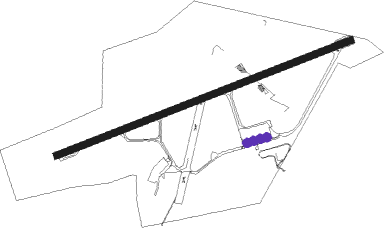
Derry - Londonderry Eglinton
Airport details
| Country | United Kingdom |
| State | Northern Ireland |
| Region | EG |
| Airspace | Scottish Ctr |
| Municipality | County Londonderry |
| Elevation | 20ft (6m) |
| Timezone | GMT +0 |
| Coordinates | 55.04278, -7.16194 |
| Magnetic var | |
| Type | land |
| Available since | X-Plane v10.40 |
| ICAO code | EGAE |
| IATA code | LDY |
| FAA code | n/a |
Communication
| Londonderry Eglinton Eglinton Information | 119.380 |
| Londonderry Eglinton Eglinton Tower | 134.155 |
| Londonderry Eglinton Eglinton Approach | 123.625 |
Approach frequencies
| ILS-cat-I | RW08 | 108.3 | 18.00mi |
| ILS-cat-I | RW26 | 108.3 | 18.00mi |
| 3° GS | RW08 | 108.3 | 18.00mi |
| 3° GS | RW26 | 108.3 | 18.00mi |
Nearby Points of Interest:
Guildhall, Derry
-Binevenagh
-Sperrins
-Town Hall The Diamond Coleraine Co.londonderry
Nearby beacons
| code | identifier | dist | bearing | frequency |
|---|---|---|---|---|
| EGT | LONDONDERRY NDB | 0.2 | 65° | 328 |
| BEL | BELFAST VOR/DME | 39.5 | 112° | 117.20 |
| ISY | DME-ILS | 49.4 | 55° | 109.95 |
| LAY | ISLAY NDB | 49.4 | 55° | 395 |
Disclaimer
The information on this website is not for real aviation. Use this data with the X-Plane flight simulator only! Data taken with kind consent from X-Plane 12 source code and data files. Content is subject to change without notice.