Neheim-hüsten - Arnsberg-menden
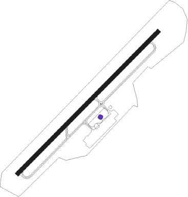
Airport details
| Country | Germany |
| State | North Rhine-Westphalia |
| Region | ED |
| Airspace | Langen Ctr |
| Municipality | Arnsberg |
| Elevation | 792ft (241m) |
| Timezone | GMT +1 |
| Coordinates | 51.48333, 7.89933 |
| Magnetic var | |
| Type | land |
| Available since | X-Plane v10.32 |
| ICAO code | EDLA |
| IATA code | ZCA |
| FAA code | n/a |
Communication
| Arnsberg-Menden Arnsberg Info | 121.210 |
Nearby Points of Interest:
Pfarrhaus (Voßwinkel)
-Altes Amtsgericht Neheim
-Villa Westermann
-Johanneskirche
-Amtsgericht Werl
-St. Joseph
-Museum Menden
-Werl Prison
-Saint Joseph Church
-Teufelsturm
-Haus Kotten
-Haus Koeningen
-Maria Magdalena
-Bahnhof Lenningsen
-Schloss Dahlhausen
-Beginenhof Deilinghofen
-Villa Prinz
-Amtshaus Hemer
-Haus Schennen
-Saint Anthony of Padua Church
-Dückerscher Hof
-Fabrikantenhaus von der Becke
-Haus Zur Krim
-Altes Rathaus Arnsberg
-Groten-Turm
Nearby beacons
| code | identifier | dist | bearing | frequency |
|---|---|---|---|---|
| DWI | DORTMUND-WICKEDE NDB | 10.2 | 279° | 357 |
| DOR | WICKEDE (DORTMUND) VOR/DME | 10.3 | 279° | 108.65 |
| GMH | GERMINGHAUSEN VOR/DME | 18.7 | 181° | 115.40 |
| HMM | HAMM VOR/DME | 23.5 | 333° | 115.65 |
| PAD | DME-ILS | 27.9 | 80° | 108.50 |
| BAM | BARMEN VOR/DME | 28.6 | 258° | 114 |
| PAD | PADERBORN-LIPPSTADT NDB | 28.8 | 79° | 354 |
| BOT | BOTTROP NDB | 33.3 | 277° | 406 |
| WYP | WIPPER VOR | 34.9 | 235° | 109.60 |
| MOD | DME | 40 | 342° | 114.05 |
| MYN | MUENSTER/OSNABRUECK NDB | 40.7 | 352° | 371 |
| LW | COLOGNE-BONN NDB | 42.7 | 228° | 300 |
| COL | COLA VOR/DME | 43.5 | 204° | 108.80 |
| OSB | OSNABRUCK TACAN | 45.3 | 28° | 108.35 |
| OSN | OSNABRUECK VOR | 45.3 | 28° | 114.30 |
| LJ | COLOGNE-BONN NDB | 45.9 | 236° | 365 |
| KBO | COLOGNE-BONN VOR/DME | 46.8 | 230° | 112.15 |
| SLD | DME | 47.1 | 167° | 108.05 |
| LV | COLOGNE-BONN NDB | 47.7 | 224° | 327 |
| SIL | SIEGERLAND NDB | 49 | 163° | 489 |
Disclaimer
The information on this website is not for real aviation. Use this data with the X-Plane flight simulator only! Data taken with kind consent from X-Plane 12 source code and data files. Content is subject to change without notice.