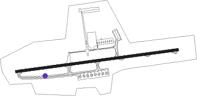
Sétif - 8 Mai 45
Airport details
| Country | Algeria |
| State | Setif |
| Region | DA |
| Airspace | Algiers Ctr |
| Municipality | Aïn Arnat |
| Elevation | 3356ft (1023m) |
| Timezone | GMT +1 |
| Coordinates | 36.18162, 5.33017 |
| Magnetic var | |
| Type | land |
| Available since | X-Plane v10.30 |
| ICAO code | DAAS |
| IATA code | QSF |
| FAA code | n/a |
Communication
| 8 Mai 45 SETIF Ground Control | 121.900 |
| 8 Mai 45 SETIF Tower | 119.900 |
Approach frequencies
| LOC | RW27 | 110.9 | 18.00mi |
Nearby beacons
| code | identifier | dist | bearing | frequency |
|---|---|---|---|---|
| STF | SETIF VOR/DME | 2 | 263° | 114.60 |
| BJA | BEJAIA VOR/DME | 34.2 | 335° | 113 |
| BJA | BEJAIA NDB | 34.3 | 335° | 423 |
| JIL | JIJEL VOR/DME | 45.4 | 42° | 117.90 |
Disclaimer
The information on this website is not for real aviation. Use this data with the X-Plane flight simulator only! Data taken with kind consent from X-Plane 12 source code and data files. Content is subject to change without notice.