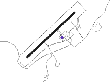
Fort Chipewyan
Airport details
| Country | Canada |
| State | Alberta |
| Region | CY |
| Airspace | Edmonton Ctr |
| Municipality | Wood Buffalo |
| Elevation | 761ft (232m) |
| Timezone | GMT -7 |
| Coordinates | 58.76744, -111.11756 |
| Magnetic var | |
| Type | land |
| Available since | X-Plane v10.40 |
| ICAO code | CYPY |
| IATA code | YPY |
| FAA code | n/a |
Communication
| Fort Chipewyan AWOS | 128.000 |
| Fort Chipewyan Traffic | 123.200 |
Nearby beacons
| code | identifier | dist | bearing | frequency |
|---|---|---|---|---|
| PY | FORT CHIPEWYAN NDB | 0.4 | 122° | 207 |
Instrument approach procedures
| runway | airway (heading) | route (dist, bearing) |
|---|---|---|
| RW04 | DUNUN (41°) | DUNUN VISUT (5mi, 303°) 2100ft |
| RW04 | XEROG (84°) | XEROG VISUT (5mi, 123°) 2100ft |
| RNAV | VISUT 2100ft ULOGO (5mi, 67°) 2100ft CYPY (5mi, 67°) 754ft LESOV (5mi, 68°) 2300ft LESOV (turn) | |
| RW22 | SATEP (220°) | SATEP ROVMI (5mi, 123°) 2200ft |
| RW22 | TESUL (264°) | TESUL ROVMI (5mi, 303°) 2200ft |
| RNAV | ROVMI 2200ft APNOV (5mi, 248°) 2100ft DUSUK (2mi, 248°) 1350ft CYPY (2mi, 248°) 807ft WACBO (5mi, 247°) 2300ft WACBO (turn) |
Disclaimer
The information on this website is not for real aviation. Use this data with the X-Plane flight simulator only! Data taken with kind consent from X-Plane 12 source code and data files. Content is subject to change without notice.