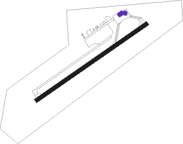
Peace River
Airport details
| Country | Canada |
| State | Alberta |
| Region | CY |
| Airspace | Edmonton Ctr |
| Municipality | Municipal District of Peace |
| Elevation | 1873ft (571m) |
| Timezone | GMT -7 |
| Coordinates | 56.22729, -117.44842 |
| Magnetic var | |
| Type | land |
| Available since | X-Plane v10.40 |
| ICAO code | CYPE |
| IATA code | YPE |
| FAA code | YPE |
Communication
| Peace River MF | 122.000 |
Nearby beacons
| code | identifier | dist | bearing | frequency |
|---|---|---|---|---|
| YPE | PEACE RIVER VOR/DME | 2.4 | 252° | 117.20 |
| 8C | FAIRVIEW NDB | 34.4 | 261° | 295 |
| M5 | MANNING NDB | 43.7 | 346° | 307 |
Instrument approach procedures
| runway | airway (heading) | route (dist, bearing) |
|---|---|---|
| RW04 | URTUN (50°) | URTUN VISOM (5mi, 314°) 3300ft |
| RW04 | VINVU (87°) | VINVU VISOM (5mi, 133°) 3300ft |
| RNAV | VISOM 3300ft URVEG (6mi, 72°) 3200ft CYPE (4mi, 72°) 1924ft APGER (5mi, 72°) 4000ft APGER (turn) | |
| RW22 | APDIR (231°) | APDIR VILMI (5mi, 134°) 3300ft |
| RW22 | URVOS (267°) | URVOS VILMI (5mi, 314°) 3300ft |
| RNAV | VILMI 3300ft APKES (6mi, 252°) 3200ft CYPE (4mi, 252°) 1914ft KEBVA (5mi, 252°) 4000ft KEBVA (turn) |
Disclaimer
The information on this website is not for real aviation. Use this data with the X-Plane flight simulator only! Data taken with kind consent from X-Plane 12 source code and data files. Content is subject to change without notice.