Tumbler Ridge
Airport details
| Country | Canada |
| State | British Columbia |
| Region | |
| Airspace | Edmonton Ctr |
| Municipality | Tumbler Ridge |
| Elevation | 3075ft (937m) |
| Timezone | GMT -7 |
| Coordinates | 55.02300, -120.93661 |
| Magnetic var | |
| Type | land |
| Available since | X-Plane v10.40 |
| ICAO code | BX7 |
| IATA code | n/a |
| FAA code | n/a |
Communication
| Tumbler Ridge CTAF | 123.200 |
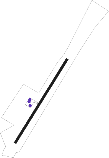
Runway info
| Runway 02 / 20 | ||
| length | 1202m (3944ft) | |
| bearing | 52° / 232° | |
| width | 30m (100ft) | |
| surface | asphalt | |
Disclaimer
The information on this website is not for real aviation. Use this data with the X-Plane flight simulator only! Data taken with kind consent from X-Plane 12 source code and data files. Content is subject to change without notice.