Island Pond - John H Boylan State
Airport details
| Country | United States of America |
| State | Vermont |
| Region | |
| Airspace | Boston Ctr |
| Municipality | Brighton |
| Elevation | 1192ft (363m) |
| Timezone | GMT -5 |
| Coordinates | 44.79206, -71.83126 |
| Magnetic var | |
| Type | land |
| Available since | X-Plane v10.40 |
| ICAO code | 5B1 |
| IATA code | n/a |
| FAA code | 5B1 |
Communication
Nearby Points of Interest:
Bloomfield-Nulhegan River Route 102 Bridge
-Martin Homestead
-Fox Hall
-Union Meeting House
-Maidstone State Park
-Toll House
-Darling Estate Historic District
-Burklyn Hall
-Wallace Farm
-Crystal Lake Falls Historic District
-King Block
-L. P. Jenne Block
-District 6 School House
-Mathewson Block
-Benjamin Aldrich Homestead
-Alice M. Ward Library
-United States Courthouse, Post Office and Customs House
-Orleans County Courthouse and Jail Complex
-Goodrich Memorial Library
-Newport Downtown Historic District
-Coaticook railway station
-Wilder-Holton House
-Hôtel de ville de Cassville
-Judge David Hibbard Homestead
-William Dennis Weeks Memorial Library
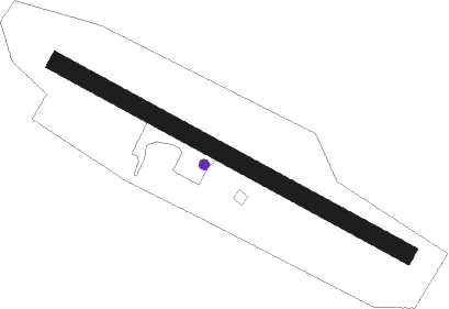
Runway info
| Runway 14 / 32 | ||
| length | 809m (2654ft) | |
| bearing | 115° / 295° | |
| width | 37m (120ft) | |
| surface | grass | |
Nearby beacons
| code | identifier | dist | bearing | frequency |
|---|---|---|---|---|
| GMA | MAHN (WHITEFIELD) NDB | 26.5 | 161° | 386 |
| BML | DME | 29.1 | 104° | 116.55 |
| YSC | DME | 31.5 | 5° | 113.20 |
| MPV | MONTPELIER VOR/DME | 50 | 221° | 116.90 |
Disclaimer
The information on this website is not for real aviation. Use this data with the X-Plane flight simulator only! Data taken with kind consent from X-Plane 12 source code and data files. Content is subject to change without notice.