Newberry - Newberry Co
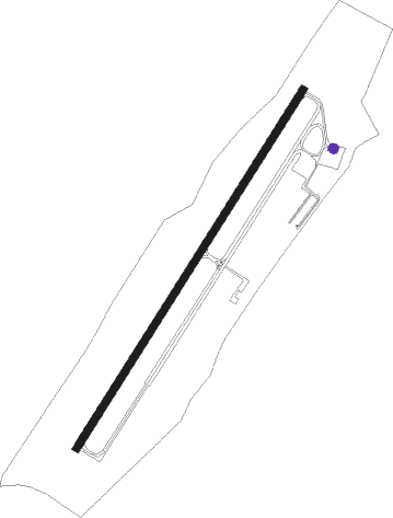
Airport details
| Country | United States of America |
| State | South Carolina |
| Region | K7 |
| Airspace | Atlanta Ctr |
| Municipality | Newberry |
| Elevation | 569ft (173m) |
| Timezone | GMT -5 |
| Coordinates | 34.30933, -81.64066 |
| Magnetic var | |
| Type | land |
| Available since | X-Plane v10.40 |
| ICAO code | 27J |
| IATA code | n/a |
| FAA code | EOE |
Communication
| Newberry Co AWOS-3 | 124.275 |
| Newberry Co CTAF/UNICOM | 122.800 |
| Newberry Co COLUMBIA Approach/Departure | 133.400 |
Nearby Points of Interest:
Oakland Mill
-Newberry College Historic District
-Osborne Wells House
-College Street Historic District
-Burton House
-Old Courthouse
-Newberry County Memorial Hospital
-Summer Brothers Stores
-Boundary Street-Newberry Cotton Mills Historic District
-Coateswood
-Ike Reighley House
-Francis B. Higgins House
-Frederick Nance House
-George Mower House
-Cousins House
-Timberhouse
-Howard Junior High School
-Hannah Rosenwald School
-Jacob Bedenbaugh House
-Hatton House
-Folk-Holloway House
-Moon-Dominick House
-Pomaria
-Little Mountain Historic District
-Hope Rosenwald School
Nearby beacons
| code | identifier | dist | bearing | frequency |
|---|---|---|---|---|
| EOE | ENOREE (NEWBERRY) NDB | 0.2 | 69° | 278 |
| GIW | CORONACA (GREENWOOD) NDB | 22.4 | 263° | 239 |
| UOT | UNION COUNTY NDB | 22.5 | 360° | 326 |
| GRD | GREENWOOD VORTAC | 25.7 | 264° | 115.50 |
| CA | MURRY (COLUMBIA) NDB | 28.4 | 131° | 362 |
| DCM | CHESTER NDB | 35.9 | 43° | 220 |
| AIK | AIKEN NDB | 39.5 | 183° | 347 |
| CAE | COLUMBIA VORTAC | 39.8 | 128° | 114.70 |
| IRQ | COLLIERS VORTAC | 44.5 | 221° | 113.90 |
| UZ | RALLY (ROCK HILL) NDB | 44.5 | 44° | 227 |
| GM | JUDKY (GREENVILLE) NDB | 45 | 304° | 521 |
| SPA | SPARTANBURG VORTAC | 45.7 | 338° | 115.70 |
| GY | DYANA (GREENVILLE) NDB | 45.8 | 295° | 338 |
| LKR | LANCASTER NDB | 45.9 | 62° | 400 |
| MMT | MC ENTIRE (COLUMBIA) VORTAC | 47.6 | 115° | 113.20 |
| EMR | EMORY (AUGUSTA) NDB | 53.8 | 203° | 385 |
| SLP | FIRST RIVER (SHELBY) NDB | 56.6 | 3° | 417 |
| GHJ | STONIA (GASTONIA) NDB | 58 | 29° | 260 |
| CLT | CHARLOTTE VOR/DME | 62.8 | 38° | 115 |
| AA | CEDAR (THOMSON) NDB | 67.2 | 231° | 341 |
| BRA | BROAD RIVER (ASHEVILLE) NDB | 70.8 | 319° | 379 |
Disclaimer
The information on this website is not for real aviation. Use this data with the X-Plane flight simulator only! Data taken with kind consent from X-Plane 12 source code and data files. Content is subject to change without notice.