Yining
Airport details
| Country | China |
| State | Xinjiang |
| Region | |
| Airspace | Urumqi Ctr |
| Municipality | Yining City |
| Elevation | 2198ft (670m) |
| Timezone | GMT +8 |
| Coordinates | 43.95092, 81.31742 |
| Magnetic var | |
| Type | land |
| Available since | X-Plane v10.40 |
| ICAO code | ZWYN |
| IATA code | YIN |
| FAA code | n/a |
Communication
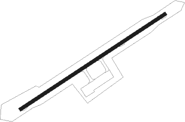
Runway info
| Runway 06 / 24 | ||
| length | 2398m (7867ft) | |
| bearing | 68° / 248° | |
| width | 48m (157ft) | |
| surface | asphalt | |
| blast zone | 58m (190ft) / 58m (190ft) | |
Disclaimer
The information on this website is not for real aviation. Use this data with the X-Plane flight simulator only! Data taken with kind consent from X-Plane 12 source code and data files. Content is subject to change without notice.