New Barag Right Banner Baogede
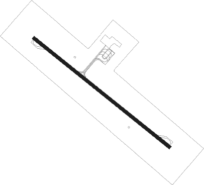
Airport details
| Country | China |
| State | Inner Mongolia |
| Region | |
| Airspace | Shenyang Ctr |
| Municipality | Hulunbuir |
| Elevation | 1796ft (547m) |
| Timezone | GMT +8 |
| Coordinates | 48.57922, 116.93348 |
| Magnetic var | |
| Type | land |
| Available since | X-Plane v10.40 |
| ICAO code | XZ0013 |
| IATA code | XRQ |
| FAA code | n/a |
Communication
Nearby beacons
| code | identifier | dist | bearing | frequency |
|---|---|---|---|---|
| MZL | MANZHOULI VOR/DME | 53 | 44° | 113.10 |
| Z | XIJIAO (MANZHOULI) NDB | 61.2 | 24° | 225 |
| G | MANZHOULI NDB | 61.4 | 20° | 300 |
Disclaimer
The information on this website is not for real aviation. Use this data with the X-Plane flight simulator only! Data taken with kind consent from X-Plane 12 source code and data files. Content is subject to change without notice.