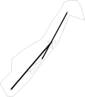
Quito - Laicas
Airport details
| Country | Ecuador |
| State | Pichincha |
| Region | SE |
| Airspace | Guayaquil Ctr |
| Municipality | Uyumbicho |
| Elevation | 8903ft (2714m) |
| Timezone | GMT -5 |
| Coordinates | -0.40345, -78.52985 |
| Magnetic var | |
| Type | land |
| Available since | X-Plane v10.40 |
| ICAO code | XSE0003 |
| IATA code | n/a |
| FAA code | n/a |
Communication

Nearby beacons
| code | identifier | dist | bearing | frequency |
|---|---|---|---|---|
| QSV | SUR (QUITO) VOR/DME | 12.7 | 61° | 116.80 |
| QIT | CONDORCOCHA (QUITO) VOR/DME | 21.9 | 3° | 115.30 |
| QNV | NORTE VOR/DME | 27.2 | 22° | 117.40 |
| LTV | LATACUNGA VOR/DME | 31.8 | 189° | 117.10 |
| STD | SANTO DOMINGO NDB | 41.7 | 283° | 270 |
| OLM | OLMEDO NDB | 43.4 | 37° | 400 |
| AMB | AMBATO NDB | 48.7 | 183° | 360 |
| AMV | AMBATO VOR/DME | 53 | 181° | 112.70 |
| JUV | JUMANDY VOR/DME | 70 | 124° | 114.30 |
Disclaimer
The information on this website is not for real aviation. Use this data with the X-Plane flight simulator only! Data taken with kind consent from X-Plane 12 source code and data files. Content is subject to change without notice.