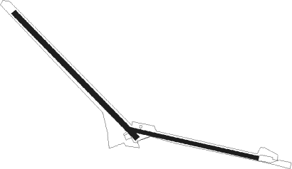
Airports for X-Plane offers a convenient way to explore airports and their related communication information for the X-Plane flight simulator. It only uses data from the X-Plane flight simulator itself, and is therefore more reliable than the data that comes from real aviation websites. You can search for airports by using the ICAO code, or browse for airports per country and state. The information displayed is categorized by airport details, runway information, airport communication, approach frequencies (ILS and Glidepath details), details of nearby beacons, SIDs, STARs and approach procedures.

customs taxi drome faa train station takeoff traffic aviation airbase aircraft carrier flown taxiway corporation seaplanes city airfield traffic pattern warfare road railway station helipad

Punta Chivato

Airport details

CountryMexico
StateLower California South
Region
AirspaceMazatlan Ctr
MunicipalityMunicipio de Mulegé
Elevation14ft (4m)
TimezoneGMT -7
Coordinates27.07123, -111.96986
Magnetic var
Typeland
Available sinceX-Plane v10.40
ICAO codeXMM0001
IATA codePCV
FAA coden/a

Communication

No airport communication available for XMM0001

Runway info

Runway 10 / 28  
 length938m (3077ft)
 bearing105° / 285°
 width24m (80ft)
 surfacedirt
Runway 14 / 32  
 length1218m (3996ft)
 bearing137° / 317°
 width37m (120ft)
 surfacedirt
 blast zone66m (217ft) / 0m (0ft)

Airport layout


Parking locations

Disclaimer

The information on this website is not for real aviation. Use this data with the X-Plane flight simulator only! Data taken with kind consent from X-Plane 12 source code and data files. Content is subject to change without notice.