Janova Lehota
Airport details
| Country | Slovakia |
| State | Region of Banská Bystrica |
| Region | LZ |
| Airspace | Bratislava Ctr |
| Municipality | Lutila |
| Elevation | 1246ft (380m) |
| Timezone | GMT +1 |
| Coordinates | 48.63654, 18.80382 |
| Magnetic var | |
| Type | land |
| Available since | X-Plane v10.40 |
| ICAO code | XLZ0002 |
| IATA code | n/a |
| FAA code | n/a |
Communication
| Janova Lehota lehota prevadzka | 118.735 |
Nearby Points of Interest:
Kamenná vila
-Lutheran church in Blatnica
-Memorial of Slovak National Uprising, Nemecká
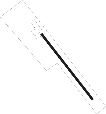
Runway info
| Runway 14 / 32 | ||
| length | 551m (1808ft) | |
| bearing | 135° / 315° | |
| width | 15m (49ft) | |
| surface | asphalt | |
Nearby beacons
| code | identifier | dist | bearing | frequency |
|---|---|---|---|---|
| SLC | SLIAC VOR/DME | 16.5 | 120° | 114 |
| ZLA | ZILINA NDB | 35.9 | 333° | 404 |
| NIT | NITRA VOR/DME | 36.4 | 245° | 116.50 |
| Z | HLINIK (ZILINA) NDB | 36.4 | 341° | 508 |
| PNY | CENTR (PIESTANY) NDB | 39 | 268° | 297 |
| CRT | DME | 40.2 | 74° | 116.75 |
Disclaimer
The information on this website is not for real aviation. Use this data with the X-Plane flight simulator only! Data taken with kind consent from X-Plane 12 source code and data files. Content is subject to change without notice.