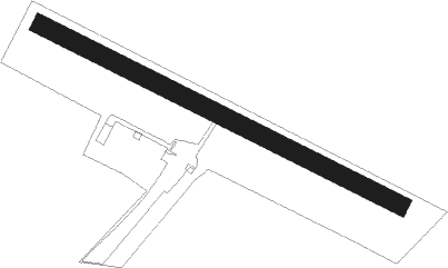
Bihac
Airport details
| Country | Bosnia and Herzegovina |
| State | Federation of Bosnia and Herzegovina |
| Region | LQ |
| Airspace | Sarajevo Ctr |
| Municipality | Bihać |
| Elevation | 741ft (226m) |
| Timezone | GMT +1 |
| Coordinates | 44.79694, 15.90417 |
| Magnetic var | |
| Type | land |
| Available since | X-Plane v10.40 |
| ICAO code | XLQ0007 |
| IATA code | n/a |
| FAA code | n/a |
Communication
| Bihac Golubic Info | 123.500 |
Nearby Points of Interest:
Fethija mosque (Bihać)
-Bosanska Krupa Castle
Nearby beacons
| code | identifier | dist | bearing | frequency |
|---|---|---|---|---|
| TNJ | TOUNJ NDB | 35.8 | 309° | 316 |
| KOS | KOSTAJNICA NDB | 37.6 | 56° | 316 |
| OMA | OMARSKA VOR/DME | 39.5 | 80° | 117.90 |
| BO | BOKANJAC NDB | 46.6 | 226° | 385 |
| ZDA | ZADAR VOR/DME | 48 | 218° | 108.60 |
| ZK | ZADAR NDB | 48.1 | 218° | 348 |
| PIS | PISAROVINA NDB | 48.5 | 356° | 424 |
| ZRA | KAKMA NDB | 51.1 | 207° | 330 |
| LUK | DME | 53.7 | 6° | 109.85 |
| VG | VELIKA GORICA (ZAGREB) NDB | 56 | 8° | 325 |
| VRL | VRLIKA NDB | 56.6 | 149° | 283 |
| JAP | DME | 58.2 | 343° | 117.65 |
| SAL | SALI NDB | 60.5 | 221° | 421 |
Disclaimer
The information on this website is not for real aviation. Use this data with the X-Plane flight simulator only! Data taken with kind consent from X-Plane 12 source code and data files. Content is subject to change without notice.