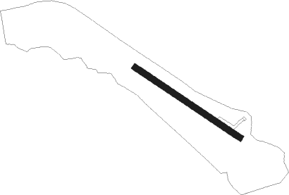
Daruvar
Airport details
| Country | Croatia |
| State | [Other] |
| Region | LD |
| Airspace | Zagreb Ctr |
| Municipality | Grad Daruvar |
| Elevation | 482ft (147m) |
| Timezone | GMT +1 |
| Coordinates | 45.58507, 17.21140 |
| Magnetic var | |
| Type | land |
| Available since | X-Plane v10.40 |
| ICAO code | XLD000E |
| IATA code | n/a |
| FAA code | n/a |
Communication
| Daruvar Daruvar Radio | 123.500 |
Nearby beacons
| code | identifier | dist | bearing | frequency |
|---|---|---|---|---|
| VBA | BARNA VOR/DME | 10.1 | 338° | 117.40 |
| BLK | BANJA LUKA NDB | 29.4 | 175° | 340 |
| KOS | KOSTAJNICA NDB | 35.2 | 242° | 316 |
| LU | BANJA LUKA NDB | 37.6 | 173° | 397 |
| LAK | BANJA LUKA VOR/DME | 38.8 | 173° | 115.30 |
| NA | BANJA LUKA NDB | 40 | 172° | 383 |
| OMA | OMARSKA VOR/DME | 41.3 | 213° | 117.90 |
| ZAG | ZAGREB NDB | 42.2 | 289° | 367 |
| DER | DERVENTA VOR/DME | 48.2 | 128° | 112.40 |
| VAR | VARAZDIN NDB | 55.8 | 311° | 344 |
Disclaimer
The information on this website is not for real aviation. Use this data with the X-Plane flight simulator only! Data taken with kind consent from X-Plane 12 source code and data files. Content is subject to change without notice.