Omdurman - Wadi Seidna Ab
Airport details
| Country | Sudan |
| State | Khartoum State |
| Region | HS |
| Airspace | Khartoum Ctr |
| Elevation | 1266ft (386m) |
| Timezone | GMT +2 |
| Coordinates | 15.81454, 32.52219 |
| Magnetic var | |
| Type | land |
| Available since | X-Plane v10.40 |
| ICAO code | XHS0005 |
| IATA code | n/a |
| FAA code | n/a |
Communication
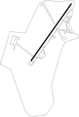
Runway info
| Runway 03 / 21 | ||
| length | 2994m (9823ft) | |
| bearing | 41° / 221° | |
| width | 50m (164ft) | |
| surface | asphalt | |
Nearby beacons
| code | identifier | dist | bearing | frequency |
|---|---|---|---|---|
| KTM | KHARTOUM VOR/DME | 15 | 173° | 112.10 |
Disclaimer
The information on this website is not for real aviation. Use this data with the X-Plane flight simulator only! Data taken with kind consent from X-Plane 12 source code and data files. Content is subject to change without notice.