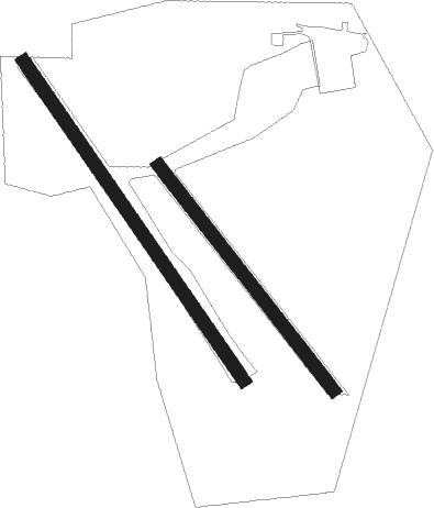
Kårsta - Fågelsunda
Airport details
| Country | Sweden |
| State | [Other] |
| Region | |
| Airspace | Sweden Ctr |
| Municipality | Vallentuna kommun |
| Elevation | 61ft (19m) |
| Timezone | GMT +1 |
| Coordinates | 59.65150, 18.16852 |
| Magnetic var | |
| Type | land |
| Available since | X-Plane v10.40 |
| ICAO code | XESS5 |
| IATA code | n/a |
| FAA code | n/a |
Communication
Nearby Points of Interest:
Frösunda socken
-Kårsta socken
-Närtuna socken
-Uppland Runic Inscription 504
-Uppland Runic Inscription 200
-Orkesta socken
-Uppland Runic Inscription 343
-Uppland Runic Inscription 356
-Lunda socken
-Skepptuna socken
-Uppland Runic Inscription 359
-Uppland Runic Inscription 358
-Uppland Runic Inscription 325
-Markims socken
-Vada socken
-Uppland Runic Inscription 326
-Gottröra socken
-Uppland Runic Inscription 328
-Upplands runinskrifter 512
-Uppland Runic Inscription 324
-Össeby-Garns socken
-Uppland Runic Inscription 181
-Upplands runinskrifter 180
-Uppland Runic Inscription 183
-Uppland Runic Inscription 377

Nearby beacons
| code | identifier | dist | bearing | frequency |
|---|---|---|---|---|
| ANE | (STOCKHOLM) DME | 4.1 | 291° | 113.30 |
| ASE | (STOCKHOLM) DME | 6.4 | 266° | 114.45 |
| TEB | TEBBY VOR/DME | 7.2 | 164° | 117.10 |
| WA | ARLANDA (STOCKHOLM) NDB | 7.6 | 271° | 348 |
| ARL | ARLANDA (STOCKHOLM) VOR/DME | 7.7 | 270° | 116 |
| ANW | (STOCKHOLM) DME | 10.2 | 281° | 112.05 |
| ASW | (STOCKHOLM) DME | 11.2 | 260° | 113.75 |
| ERK | ERKEN NDB | 15.5 | 35° | 383 |
| UP | UPPSALA NDB | 24.3 | 305° | 366 |
| LNA | LENA NDB | 25.5 | 262° | 330 |
| COR | CORNER NDB | 31.3 | 240° | 388 |
| HMR | HAMMAR VOR/DME | 38.2 | 20° | 112.60 |
| TRS | TROSA VOR/DME | 47.4 | 223° | 114.30 |
Disclaimer
The information on this website is not for real aviation. Use this data with the X-Plane flight simulator only! Data taken with kind consent from X-Plane 12 source code and data files. Content is subject to change without notice.