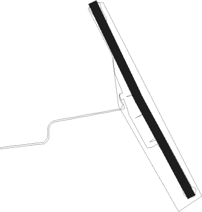
Sala
Airport details
| Country | Sweden |
| State | [Other] |
| Region | |
| Airspace | Sweden Ctr |
| Municipality | Sala kommun |
| Elevation | 166ft (51m) |
| Timezone | GMT +1 |
| Coordinates | 59.89792, 16.62866 |
| Magnetic var | |
| Type | land |
| Available since | X-Plane v10.40 |
| ICAO code | XESS3 |
| IATA code | n/a |
| FAA code | n/a |
Communication
Nearby Points of Interest:
Norrby socken
-Sala stad
-Sala socken
-Sala Silver Mine
-Kila socken
-Kumla socken
-Grällsta Runestone
-Tärna socken
-Västerlövsta socken
-Fläckebo socken
-Odendisa Runestone
-Haraker socken
-Upplands runinskrifter 1164
-Enåkers socken
-Minnesbyggnaden på Braheholmen
-Sevalla socken
-Romfartuna socken
-Altuna socken
-Princes Street Gardens Runestone
-Västerfärnebo socken
-Simtuna socken
-Hedensberg
-Vittinge socken
-Upplands runinskrifter 1163
-Västmanlands runinskrifter 30

Nearby beacons
| code | identifier | dist | bearing | frequency |
|---|---|---|---|---|
| LE | VAESTERAAS AB (STOCKHOLM) NDB | 14.1 | 172° | 333 |
| ARS | AROS VOR/DME | 18.7 | 176° | 112.80 |
| RD | VAESTERAAS AB (STOCKHOLM) NDB | 22.8 | 184° | 419 |
| LNA | LENA NDB | 30.8 | 116° | 330 |
| LX | ESKILSTUNA NDB | 37.4 | 172° | 402 |
| COR | CORNER NDB | 46.2 | 127° | 388 |
| TRS | TROSA VOR/DME | 63.5 | 138° | 114.30 |
Disclaimer
The information on this website is not for real aviation. Use this data with the X-Plane flight simulator only! Data taken with kind consent from X-Plane 12 source code and data files. Content is subject to change without notice.