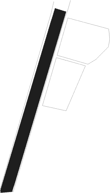
Svenljunga - Svenljunga - Bergsater
Airport details
| Country | Sweden |
| State | [Other] |
| Region | |
| Airspace | Sweden Ctr |
| Municipality | Svenljunga kommun |
| Elevation | 507ft (155m) |
| Timezone | GMT +1 |
| Coordinates | 57.48415, 13.10209 |
| Magnetic var | |
| Type | land |
| Available since | X-Plane v10.40 |
| ICAO code | XESG3 |
| IATA code | n/a |
| FAA code | n/a |
Communication
Nearby beacons
| code | identifier | dist | bearing | frequency |
|---|---|---|---|---|
| SDH | DME | 18.5 | 317° | 115.65 |
| HGG | DME | 26.1 | 277° | 113.95 |
| LAV | LANDVETTER (GOTEBORG) VOR/DME | 28.1 | 282° | 114.60 |
| NL | LANDVETTER (GOTEBORG) NDB | 28.5 | 288° | 369 |
| SL | LANDVETTER (GOTEBORG) NDB | 29.1 | 277° | 342 |
| OJ | JONKOPING NDB | 32.5 | 77° | 403 |
| PGG | DME | 32.7 | 285° | 113.35 |
| JON | JONKOPING VOR/DME | 35.1 | 74° | 115.80 |
| LT | HALMSTAD NDB | 42.1 | 201° | 336 |
| MF | HALMSTAD NDB | 50.8 | 199° | 421 |
| PG | TROLLHATTAN-VANERSBORG NDB | 51.6 | 319° | 325 |
| SG | SATENAS NDB | 55.3 | 336° | 409 |
| SS | SKOVDE NDB | 56.7 | 44° | 390 |
| FM | TROLLHATTAN-VANERSBORG NDB | 58.6 | 317° | 399 |
| LG | SATENAS NDB | 59.5 | 338° | 309 |
Disclaimer
The information on this website is not for real aviation. Use this data with the X-Plane flight simulator only! Data taken with kind consent from X-Plane 12 source code and data files. Content is subject to change without notice.
