Inndyr - Solvang Sandhornoey
Airport details
| Country | Norway |
| State | [Other] |
| Region | |
| Airspace | Polaris Ctr |
| Municipality | Gildeskål |
| Elevation | 95ft (29m) |
| Timezone | GMT +1 |
| Coordinates | 67.10516, 14.03336 |
| Magnetic var | |
| Type | land |
| Available since | X-Plane v10.40 |
| ICAO code | XEN000T |
| IATA code | n/a |
| FAA code | n/a |
Communication
Nearby Points of Interest:
Bodø Main Air Station
-Bodø Toldkammer
-Nyholmen Lighthouse
-Bodø Station
-Saltstraumen Bridge
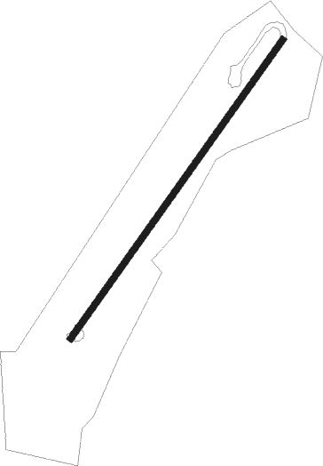
Runway info
| Runway 03 / 21 | ||
| length | 396m (1299ft) | |
| bearing | 65° / 245° | |
| width | 7m (23ft) | |
| surface | grass | |
Nearby beacons
| code | identifier | dist | bearing | frequency |
|---|---|---|---|---|
| BDO | BODO VOR/DME | 12.3 | 64° | 117.55 |
| BOO | BODO TACAN | 12.3 | 64° | 110.80 |
| STT | STOTT NDB | 17.5 | 253° | 317 |
| GR | GRUBEN (MO I RANA) NDB | 47.2 | 167° | 368 |
| STM | STROMMEN NDB | 49.3 | 198° | 345 |
| SAD | SANDSUND (LEKNES) NDB | 59.6 | 338° | 348 |
Disclaimer
The information on this website is not for real aviation. Use this data with the X-Plane flight simulator only! Data taken with kind consent from X-Plane 12 source code and data files. Content is subject to change without notice.