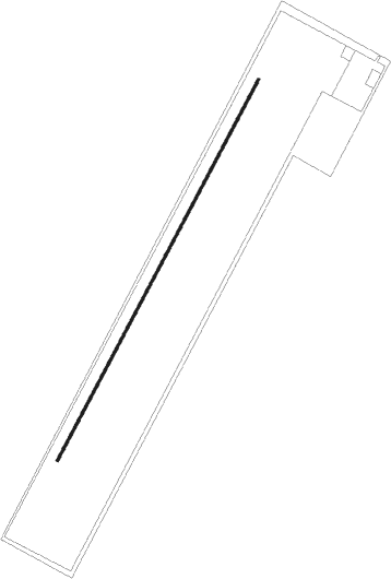
Slootdorp - Noordkop
Airport details
| Country | Netherlands |
| State | North Holland |
| Region | |
| Airspace | Amsterdam Ctr |
| Municipality | Slootdorp |
| Elevation | -3ft (-1m) |
| Timezone | GMT +1 |
| Coordinates | 52.89600, 5.00400 |
| Magnetic var | |
| Type | land |
| Available since | X-Plane v10.40 |
| ICAO code | XEH0002 |
| IATA code | n/a |
| FAA code | n/a |
Communication
| Noordkop Noordkop | 123.380 |
Nearby Points of Interest:
Afsluitdijk and Stevinsluizen in Den Oever
-Nicolaaskerk
-Hervormde Kerk
-Gemeenschapsgebouw Slootdorp
-Hervormde kerk (Wieringerwaard)
-Railway station Wieringerwaard
-Stadhuis
-Synagoge
-Kaasmarkt 2, Medemblik
-Vooreiland 22, Medemblik
-Vooreiland 15, Medemblik
-Fort Westoever
-Lucaskerk
-Toren oude dorpskerk
-Westeinde 4, Opperdoes
-Stoomgemaal Vier Noorder Koggen
-Onze-Lieve-Vrouw-Onbevlekt-Ontvangenkerk
-Royal Netherlands Naval College
-Willemsoord, Den Helder
-Nederlands Hervormde Kerk, Aartswoud
-Nieuwe Kerk
-Gouwe 48, Hoogwoud
-Gerechtsgebouw
-Laan 23, Schagen
-Nederlands Hervormde Kerk, Schagen
Nearby beacons
| code | identifier | dist | bearing | frequency |
|---|---|---|---|---|
| HDR | HELDER DME | 8.6 | 273° | 115.55 |
| SPY | DME | 22 | 203° | 113.30 |
| FRO | DME | 32.3 | 131° | 111.40 |
| LWD | LEEUWARDEN TACAN | 33.4 | 66° | 114.70 |
| PAM | PAMPUS VOR/DME | 33.8 | 171° | 117.80 |
| SPL | SCHIPHOL (AMSTERDAM) VOR/DME | 35.1 | 204° | 108.40 |
| AMS | DME | 35.5 | 208° | 113.95 |
| FRT | DME | 54.2 | 195° | 117.15 |
| RTM | ROTTERDAM VOR/DME | 58.6 | 210° | 110.40 |
| DLN | DEELEN TACAN | 59.5 | 134° | 112.20 |
Disclaimer
The information on this website is not for real aviation. Use this data with the X-Plane flight simulator only! Data taken with kind consent from X-Plane 12 source code and data files. Content is subject to change without notice.