Harley - Hughley
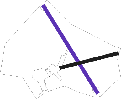
Airport details
| Country | United Kingdom |
| State | England |
| Region | |
| Airspace | London Ctr |
| Municipality | Shropshire |
| Elevation | 376ft (115m) |
| Timezone | GMT +0 |
| Coordinates | 52.58626, -2.64001 |
| Magnetic var | |
| Type | land |
| Available since | X-Plane v10.40 |
| ICAO code | XEG3HJ |
| IATA code | n/a |
| FAA code | n/a |
Communication
Nearby Points of Interest:
Acton Burnell Hall
-Wenlock Priory
-Shipton Hall
-Aston Eyre Hall
-Condover Hall
-Cronkhill
-Aldenham Park
-St Michael's Church, Upton Cressett
-Upton Cressett Hall
-Stapleton Motte
-Medieval Settlement, south-east of Upton Cressett Hall
-Attingham Park
-Morville Hall
-Millichope Park
-Coalbrookdale Institute
-St Leonard's Church, Linley
-Ironbridge Gorge
-Longner Hall
-The White House, Aston Munslow
-Madeley Court
-Apley Hall
-Castle Pulverbatch
-Newport House
-HM Prison Shrewsbury
-Welsh Bridge

Nearby beacons
| code | identifier | dist | bearing | frequency |
|---|---|---|---|---|
| SWB | SHAWBURY VOR/DME | 12.7 | 354° | 116.80 |
| WBA | WOLVERHAMPTON NDB | 14.4 | 101° | 356 |
| WOL | DME | 14.4 | 101° | 108.60 |
| WPL | WELSHPOOL NDB | 18.9 | 275° | 323 |
| SH | SHOBDON NDB | 22.3 | 215° | 426 |
| BHX | BIRMINGHAM NDB | 33.3 | 98° | 406 |
| TNL | TATENHILL NDB | 34.6 | 75° | 327 |
| WHI | WHITEGATE NDB | 35.9 | 2° | 368 |
| HAW | HAWARDEN NDB | 37.6 | 330° | 340 |
| HON | HONILEY VOR/DME | 38.2 | 103° | 113.65 |
| TNT | TRENT VOR/DME | 45 | 64° | 115.70 |
| GST | GLOUCESTERSHIRE NDB | 45.1 | 146° | 331 |
| LPL | LIVERPOOL NDB | 45.3 | 354° | 349 |
| MCT | MANCHESTER VOR/DME | 48.2 | 26° | 113.55 |
| WAL | WALLASEY VOR/DME | 51.5 | 328° | 114.10 |
| BCN | BRECON VOR/DME | 56.5 | 216° | 117.45 |
| FFA | FAIRFORD TACAN | 62.5 | 137° | 113.40 |
Disclaimer
The information on this website is not for real aviation. Use this data with the X-Plane flight simulator only! Data taken with kind consent from X-Plane 12 source code and data files. Content is subject to change without notice.