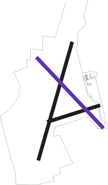
Tibenham - Tibenham Airfield
Airport details
| Country | United Kingdom |
| State | England |
| Region | |
| Airspace | London Ctr |
| Municipality | South Norfolk |
| Elevation | 186ft (57m) |
| Timezone | GMT +0 |
| Coordinates | 52.45667, 1.15417 |
| Magnetic var | |
| Type | land |
| Available since | X-Plane v10.40 |
| ICAO code | XEG004Q |
| IATA code | n/a |
| FAA code | n/a |
Communication
| Tibenham Airfield Tibenham Traffic | 129.980 |
Nearby Points of Interest:
Aslacton Windmill
-Tacolneston Hall
-Manor Farm
-Starston Windpump
-Rainthorpe Hall
-Kenninghall Road Mill
-Great Ellingham Windmill
-St Botolph's Chapel
-Earsham Hall
-Hopton Fen
-Ditchingham Hall
-Butter Cross
-Ufford Hall
-Market Weston Fen
-Flixton Road Mill
-Earlham Hall
-Bixley medieval settlement
-Surrey House
-The Ferry Boat Inn
-the assembly house
-42-48 Bethel Street
-City Hall, Norwich
-Norwich Guildhall
-St Gregory's Church
-Shire House

Nearby beacons
| code | identifier | dist | bearing | frequency |
|---|---|---|---|---|
| NWI | NORWICH NDB | 14.1 | 32° | 342 |
| WTZ | WATTISHAM TACAN | 21.5 | 213° | 109.30 |
| LKH | LAKENHEATH TACAN | 22.4 | 265° | 110.20 |
| MAM | MARHAM TACAN | 24.4 | 288° | 108.70 |
| MLD | MILDENHALL TACAN | 25 | 262° | 115.90 |
| CLN | CLACTON VOR/DME | 36.5 | 181° | 114.55 |
| CAM | CAMBRIDGE NDB | 38.5 | 256° | 332 |
| SND | SOUTHEND NDB | 55.4 | 207° | 362 |
| WIT | WITTERING TACAN | 61 | 275° | 117.60 |
| CGY | CONINGSBY TACAN | 61.3 | 296° | 111.10 |
| LUT | LUTON NDB | 61.8 | 248° | 345 |
| CIT | CRANFIELD NDB | 65.8 | 259° | 850 |
| CWL | CRANWELL NDB | 68.8 | 289° | 423 |
| CWZ | CRANWELL TACAN | 68.8 | 289° | 117.40 |
| WAD | WADDINGTON TACAN | 74.3 | 293° | 117.10 |
Disclaimer
The information on this website is not for real aviation. Use this data with the X-Plane flight simulator only! Data taken with kind consent from X-Plane 12 source code and data files. Content is subject to change without notice.