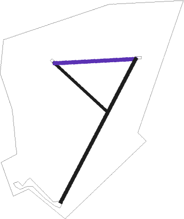
Great Massingham
Airport details
| Country | United Kingdom |
| State | England |
| Region | EG |
| Airspace | London Ctr |
| Municipality | King's Lynn and West Norfolk |
| Elevation | 293ft (89m) |
| Timezone | GMT +0 |
| Coordinates | 52.78208, 0.67305 |
| Magnetic var | |
| Type | land |
| Available since | X-Plane v10.40 |
| ICAO code | XEG004P |
| IATA code | n/a |
| FAA code | n/a |
Communication
Nearby Points of Interest:
Houghton Hall
-Coxford Priory
-Raynham Hall
-Gayton Windmill
-Anmer Hall
-Gayton Hall
-West Acre Priory
-Bloodgate Hill Iron Age Fort
-Middleton Tower
-Waterden medieval settlement remains
-Wolferton railway station
-Pentney Priory
-Egmere medieval settlement
-Marham Abbey
-Sennowe Hall
-Burnham Westgate Hall
-West Winch Windmill
-Guildhall
-Clifton House
-Thoresby College
-Union Mills, Burnham Overy
-Burnham Norton Friary
-Burnham Overy Staithe Windmill
-Hunstanton Hall Moat Bridge And Garden And Forecourt Walls
-Iron Age fort 900m north east of Dale Hole Cottage

Nearby beacons
| code | identifier | dist | bearing | frequency |
|---|---|---|---|---|
| MAM | MARHAM TACAN | 9 | 220° | 108.70 |
| LKH | LAKENHEATH TACAN | 23 | 198° | 110.20 |
| NWI | NORWICH NDB | 23.3 | 100° | 342 |
| MLD | MILDENHALL TACAN | 26 | 204° | 115.90 |
| CGY | CONINGSBY TACAN | 35.6 | 290° | 111.10 |
| CAM | CAMBRIDGE NDB | 38.7 | 221° | 332 |
| WTZ | WATTISHAM TACAN | 40.8 | 158° | 109.30 |
| WIT | WITTERING TACAN | 43.9 | 262° | 117.60 |
| CWL | CRANWELL NDB | 44.5 | 282° | 423 |
| CWZ | CRANWELL TACAN | 44.5 | 282° | 117.40 |
| WAD | WADDINGTON TACAN | 49.1 | 288° | 117.10 |
| BKY | BARKWAY VOR/DME | 52.5 | 218° | 116.25 |
| CLN | CLACTON VOR/DME | 58.7 | 153° | 114.55 |
| CIT | CRANFIELD NDB | 59.6 | 242° | 850 |
| KIM | HUMBERSIDE NDB | 60.2 | 308° | 365 |
| OTR | OTTRINGHAM VOR/DME | 61.6 | 320° | 113.90 |
| LE | LEICESTER NDB | 63 | 264° | 383 |
| LUT | LUTON NDB | 63.1 | 226° | 345 |
| GAM | GAMSTON VOR/DME | 65.7 | 287° | 112.80 |
| EME | EAST MIDLANDS NDB | 67.8 | 272° | 353 |
| FNY | DONCASTER SHEFFIELD NDB | 73.2 | 292° | 338 |
| DTY | DAVENTRY VOR/DME | 74.6 | 251° | 116.40 |
Disclaimer
The information on this website is not for real aviation. Use this data with the X-Plane flight simulator only! Data taken with kind consent from X-Plane 12 source code and data files. Content is subject to change without notice.