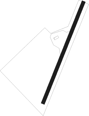
Castle Douglas - Glenswinton
Airport details
| Country | United Kingdom |
| State | Scotland |
| Region | |
| Airspace | Scottish Ctr |
| Municipality | Dumfries and Galloway |
| Elevation | 520ft (158m) |
| Timezone | GMT +0 |
| Coordinates | 55.04626, -4.03288 |
| Magnetic var | |
| Type | land |
| Available since | X-Plane v10.40 |
| ICAO code | XEG0031 |
| IATA code | n/a |
| FAA code | n/a |
Communication
Nearby Points of Interest:
Ironmacannie Mill
-Hensol House
-Glenlair
-Corsock House, Gates
-Ken Bridge
-Dalarran Holm
-Old Bridge Of Urr, Watermill
-Craigenputtock
-Castle Douglas, New Market Street, Cattle Market
-Knocknalling House
-Argrennan House
-Craigdarroch
-Glenluiart
-Edingham Castle
-Stroanfreggan Bridge,cairn
-Buittle Bridge
-Dunscore Parish Church
-Kirkland, Glencairn Parish Church
-Tongland Abbey
-Tongland Bridge
-Hills Tower
-Trusty's Hill
-Fourmerkland Tower
-Easthill stone circle
-Cally Palace
Nearby beacons
| code | identifier | dist | bearing | frequency |
|---|---|---|---|---|
| GLO | LOWTHER DME | 23 | 41° | 109.65 |
| TRN | TURNBERRY VOR/DME | 30.3 | 290° | 117.50 |
| DCS | CROSS DME | 30.8 | 115° | 115.20 |
| PIK | PRESTWICK NDB | 33.3 | 310° | 355 |
| TLA | TALLA VOR/DME | 35.7 | 56° | 113.80 |
| DUD | DME | 36.4 | 312° | 115.45 |
| GLW | GLASGOW NDB | 51.3 | 334° | 331 |
| GOW | GLASGOW VOR/DME | 51.4 | 333° | 115.40 |
| UW | EDINBURGH NDB | 54.6 | 32° | 368 |
| WL | BARROW (WALNEY ISLAND) NDB | 61.3 | 140° | 385 |
| EDN | EDINBURGH NDB | 61.4 | 39° | 341 |
| RWY | RONALDSWAY NDB | 61.4 | 211° | 359 |
| IOM | ISLE OF MAN VOR/DME | 64 | 217° | 112.20 |
Disclaimer
The information on this website is not for real aviation. Use this data with the X-Plane flight simulator only! Data taken with kind consent from X-Plane 12 source code and data files. Content is subject to change without notice.